Medium airport · Canada
Miramichi AirportCYCH
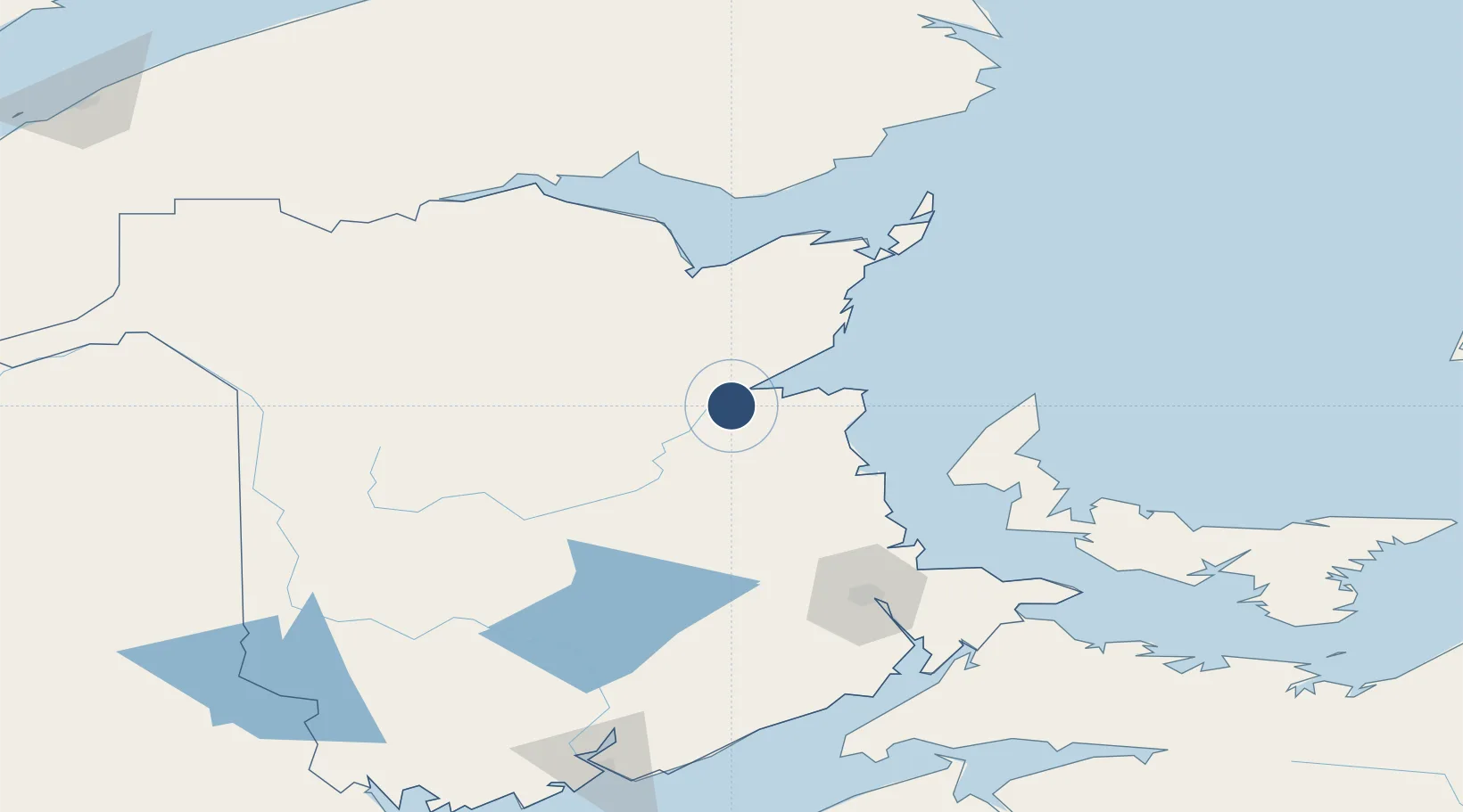
47.0078°, -65.4492°
10,006 ft
Longest runway
1
Runways
108 ft
Elevation
Runway & Layout

Radio Frequencies
CNTR
123.7 MHz
MONCTON CNTR
UNIC
122.7 MHz
ATF/UNICOM
Navaids
F9 NDB Miramichi 520 kHz
F9 DME Miramichi 110.90 MHz
Runways · 1
| Runway | Dimensions | Surface | True heading | Lit |
|---|---|---|---|---|
| 09/27 | 10,006 × 150ft | Asphalt | 072° | ✓ |
Airport Specifications
IATA code
YCH
ICAO code
CYCH
Airport class
Medium airport
Scheduled service
No
Runway surface
Asphalt
Served city
Miramichi
Location
Nearby Logistics Neighbours
Airports
- 1Bathurst Airport73 km
- 2Greater Moncton Roméo LeBlanc International Airport116 km
- 3Bonaventure Airport118 km
- 4Charlo Airport128 km
- 5Summerside Airport138 km
Cities
- 1Millbank5 km
- 2Doaktown73 km
- 3Beresford78 km
- 4Bouctouche82 km
- 5Boiestown95 km
Ports
- 1Caraquet96 km
- 2Shippegan100 km
- 3Dalhousie136 km
- 4Summerside144 km
- 5Charlottetown197 km
Trade Zones
- 1Saint John199 km
- 2FTZ No. 179 Madawaska221 km
- 3Halifax Gateway299 km
- 4FTZ No. 058 Bangor357 km
- 5Cape Breton Regional Municipality Foreign Trade Zone371 km
DatabookThe Record of Consolidated Knowledge
Canada beyond logistics?