UN/LOCODE hub · Canada
CAQPS

Quispamsis

45.7167°, -66.5667°
18,768
Population
1
Transport functions

Transport Functions

Multimodal
UN/LOCODE

Hub Profile

Place type
Populated place
GeoNames
Region
New Brunswick
GeoNames
Population
18,768
GeoNames
Time zone
America/Moncton
GeoNames
Elevation
84 m
GeoNames

Location

Location of CAQPS
Natural Earth 10m (public domain) · New Brunswick · CAQPS · 45.72, -66.57GoogleOSMYandex

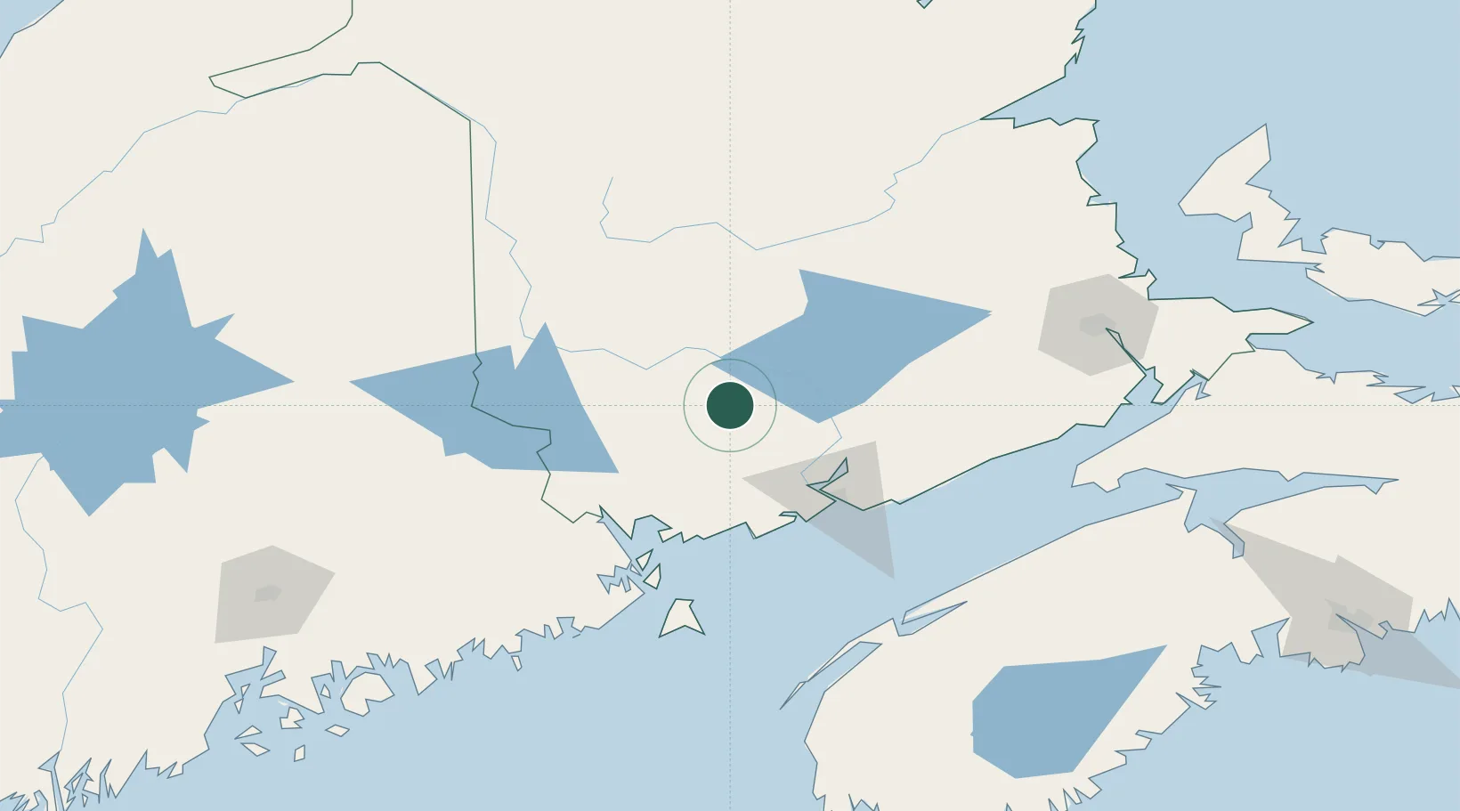
Nearby Logistics Neighbours

Cities
  1. 1Oromocto16 km
  2. 2Fredericton27 km
  3. 3Harvey Station34 km
  4. 4Jemseg38 km
  5. 5Minto56 km
Nearest neighbours — logibook spatial index (haversine) over the source coordinates
Ports
  1. 1St John64 km
  2. 2Canaport (St. John)73 km
  3. 3Port Bayside Nb77 km
  4. 4Eastport97 km
  5. 5Lubec100 km
Nearest neighbours — logibook spatial index (haversine) over the source coordinates
Airports
  1. 1Fredericton International Airport17 km
  2. 2Saint John Airport69 km
  3. 3Houlton International Airport105 km
  4. 4Digby / Annapolis Regional Airport144 km
  5. 5CFB Greenwood153 km
Nearest neighbours — logibook spatial index (haversine) over the source coordinates
Trade Zones
  1. 1Saint John63 km
  2. 2FTZ No. 058 Bangor203 km
  3. 3FTZ No. 179 Madawaska221 km
  4. 4Halifax Gateway262 km
  5. 5FTZ No. 186 Waterville278 km
Nearest neighbours — logibook spatial index (haversine) over the source coordinates
DatabookThe Record of Consolidated Knowledge
Canada beyond logistics?
Browse databook

All Sources

LocationsUN/LOCODE
UN/LOCODE — free
LocationsGeoNames
CC BY 4.0
Portsthe NGA World Port Index
Public domain (US gov)
AirportsOurAirports
Public domain
Trade Zonesthe World Bank SEZ database
CC BY 4.0
Trade ZonesOpen Zone Map
CC BY
← Canada locations