Transport Functions
Port
Road
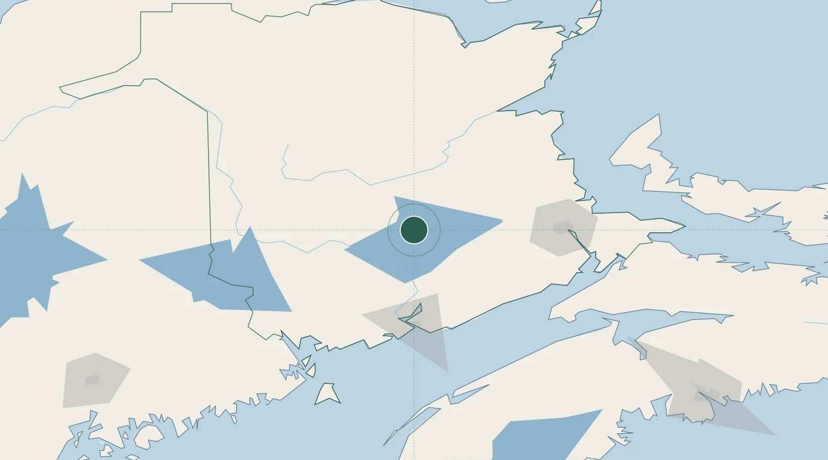
Hub Profile
Place type
Populated place
Region
New Brunswick
Population
2,234
Time zone
America/Moncton
Elevation
36 m
Location
Nearby Logistics Neighbours
Cities
- 1Chipman18 km
- 2Jemseg30 km
- 3Oromocto41 km
- 4Fredericton47 km
- 5Boiestown48 km
Ports
- 1St John91 km
- 2Canaport (St. John)98 km
- 3Port Bayside Nb133 km
- 4Eastport150 km
- 5Lubec153 km
Airports
Trade Zones
- 1Saint John90 km
- 2FTZ No. 179 Madawaska219 km
- 3Halifax Gateway251 km
- 4FTZ No. 058 Bangor257 km
- 5FTZ No. 186 Waterville332 km
DatabookThe Record of Consolidated Knowledge
Canada beyond logistics?