Medium airport · Canada
Greater Moncton Roméo LeBlanc International AirportCYQM
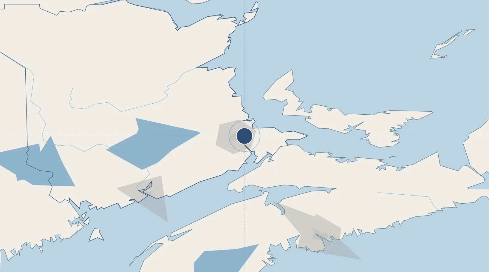
46.1132°, -64.6772°
10,001 ft
Longest runway
2
Runways
232 ft
Elevation
Runway & Layout

Radio Frequencies
ATIS
128.65 MHz
TWR
120.8 MHz
GND
121.8 MHz
A/D
124.4 MHz
APP/DEP
INFO
122.075 MHz
APN ADVSY
RCO
122.5 MHz
HALIFAX RDO
Navaids
QM NDB Moncton 224 kHz
YQM VORTAC Moncton 117.30 MHz
ZMN NDB Lewisville 366 kHz
ZQM NDB Riverview 304 kHz
Runways · 2
| Runway | Dimensions | Surface | True heading | Lit |
|---|---|---|---|---|
| 06/24 | 10,001 × 200ft | Asphalt | 044° | ✓ |
| 11/29 | 8,000 × 200ft | Asphalt | 089° | ✓ |
Airport Specifications
IATA code
YQM
ICAO code
CYQM
Airport class
Medium airport
Scheduled service
Yes
Runway surface
Asphalt
Served city
Moncton
Location
Nearby Logistics Neighbours
Airports
- 1Summerside Airport74 km
- 2Fox Harbour Airport98 km
- 3Miramichi Airport116 km
- 4Charlottetown Airport121 km
- 5CFB Greenwood127 km
Cities
- 1Moncton16 km
- 2Grande-Digue21 km
- 3Shemogue38 km
- 4Bouctouche39 km
- 5Port Elgin47 km
Ports
- 1Summerside76 km
- 2Charlottetown120 km
- 3Windsor130 km
- 4St John142 km
- 5Canaport (St. John)144 km
Trade Zones
- 1Saint John143 km
- 2Halifax Gateway184 km
- 3Cape Breton Regional Municipality Foreign Trade Zone303 km
- 4FTZ No. 179 Madawaska308 km
- 5FTZ No. 058 Bangor354 km
DatabookThe Record of Consolidated Knowledge
Canada beyond logistics?