UN/LOCODE hub · Canada
CAJEG

Jemseg

45.8167°, -66.1000°
2
Transport functions

Transport Functions

Port
Road
UN/LOCODE

Hub Profile

Place type
Populated place
GeoNames
Region
New Brunswick
GeoNames
Time zone
America/Moncton
GeoNames
Elevation
22 m
GeoNames

Location

Location of CAJEG
Natural Earth 10m (public domain) · New Brunswick · CAJEG · 45.82, -66.10GoogleOSMYandex

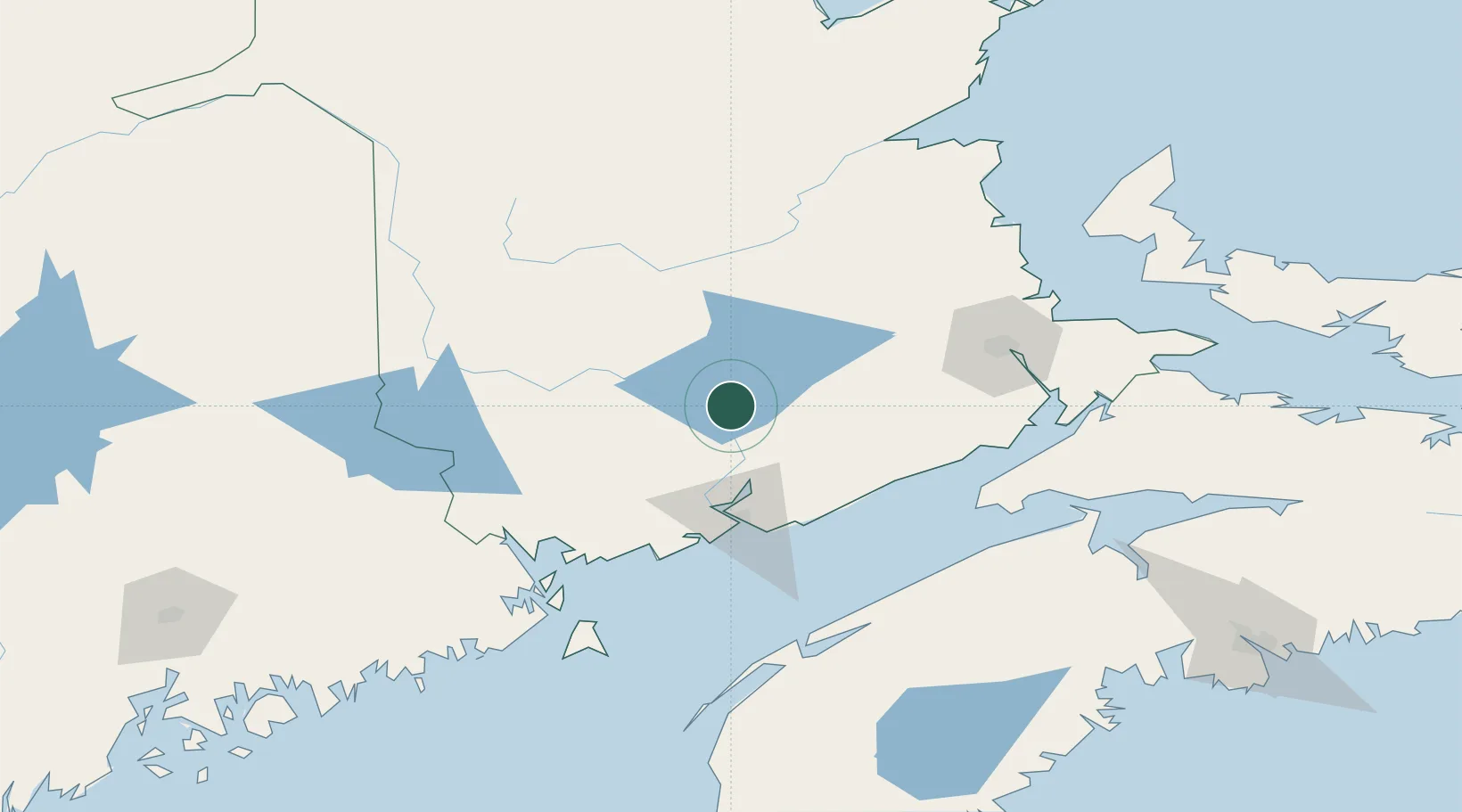
Nearby Logistics Neighbours

Cities
  1. 1Oromocto27 km
  2. 2Minto30 km
  3. 3Quispamsis38 km
  4. 4Chipman43 km
  5. 5Fredericton45 km
Nearest neighbours — logibook spatial index (haversine) over the source coordinates
Ports
  1. 1St John61 km
  2. 2Canaport (St. John)69 km
  3. 3Port Bayside Nb110 km
  4. 4Eastport123 km
  5. 5Lubec126 km
Nearest neighbours — logibook spatial index (haversine) over the source coordinates
Airports
  1. 1Fredericton International Airport34 km
  2. 2Saint John Airport58 km
  3. 3Greater Moncton Roméo LeBlanc International Airport115 km
  4. 4CFB Greenwood131 km
  5. 5Houlton International Airport135 km
Nearest neighbours — logibook spatial index (haversine) over the source coordinates
Trade Zones
  1. 1Saint John60 km
  2. 2Halifax Gateway236 km
  3. 3FTZ No. 179 Madawaska236 km
  4. 4FTZ No. 058 Bangor240 km
  5. 5FTZ No. 186 Waterville316 km
Nearest neighbours — logibook spatial index (haversine) over the source coordinates
DatabookThe Record of Consolidated Knowledge
Canada beyond logistics?
Browse databook

All Sources

LocationsUN/LOCODE
UN/LOCODE — free
Portsthe NGA World Port Index
Public domain (US gov)
AirportsOurAirports
Public domain
Trade Zonesthe World Bank SEZ database
CC BY 4.0
Trade ZonesOpen Zone Map
CC BY
← Canada locations