Transport Functions
Port
Rail
Road
Airport
Hub Profile
Place type
Regional capital
Region
New Brunswick
Population
63,116
Time zone
America/Moncton
Elevation
110 m
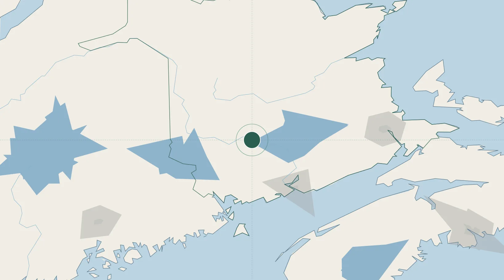
Location
Nearby Logistics Neighbours
Cities
- 1Oromocto20 km
- 2Quispamsis27 km
- 3Harvey Station38 km
- 4Jemseg45 km
- 5Nackawic45 km
Ports
- 1St John89 km
- 2Port Bayside Nb97 km
- 3Canaport (St. John)98 km
- 4Eastport120 km
- 5Lubec123 km
Airports
Trade Zones
- 1Saint John88 km
- 2FTZ No. 179 Madawaska196 km
- 3FTZ No. 058 Bangor212 km
- 4Halifax Gateway280 km
- 5FTZ No. 186 Waterville285 km
DatabookThe Record of Consolidated Knowledge
Canada beyond logistics?