UN/LOCODE hub · Canada
CAHRV

Harvey Station

45.7167°, -67.0000°
2
Transport functions

Transport Functions

Rail
Road
UN/LOCODE

Hub Profile

Place type
Populated place
GeoNames
Region
New Brunswick
GeoNames
Time zone
America/Moncton
GeoNames
Elevation
173 m
GeoNames

Location

Location of CAHRV
Natural Earth 10m (public domain) · New Brunswick · CAHRV · 45.72, -67.00GoogleOSMYandex

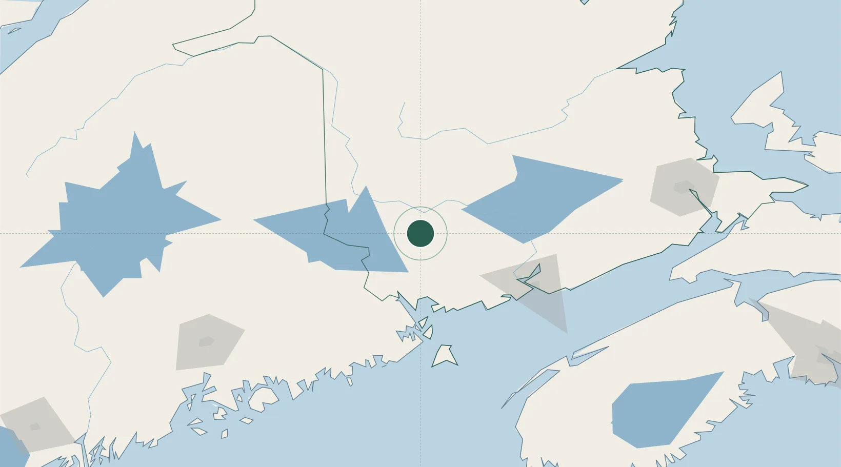
Nearby Logistics Neighbours

Cities
  1. 1Quispamsis34 km
  2. 2Nackawic35 km
  3. 3Fredericton38 km
  4. 4Oromocto45 km
  5. 5Northampton58 km
Nearest neighbours — logibook spatial index (haversine) over the source coordinates
Ports
  1. 1Port Bayside Nb64 km
  2. 2St John89 km
  3. 3Eastport91 km
  4. 4Lubec95 km
  5. 5Canaport (St. John)98 km
Nearest neighbours — logibook spatial index (haversine) over the source coordinates
Airports
  1. 1Fredericton International Airport40 km
  2. 2Houlton International Airport76 km
  3. 3Saint John Airport97 km
  4. 4Presque Isle International Airport135 km
  5. 5Caribou Municipal Airport150 km
Nearest neighbours — logibook spatial index (haversine) over the source coordinates
Trade Zones
  1. 1Saint John88 km
  2. 2FTZ No. 058 Bangor174 km
  3. 3FTZ No. 179 Madawaska202 km
  4. 4FTZ No. 186 Waterville249 km
  5. 5Halifax Gateway293 km
Nearest neighbours — logibook spatial index (haversine) over the source coordinates
DatabookThe Record of Consolidated Knowledge
Canada beyond logistics?
Browse databook

All Sources

LocationsUN/LOCODE
UN/LOCODE — free
Portsthe NGA World Port Index
Public domain (US gov)
AirportsOurAirports
Public domain
Trade Zonesthe World Bank SEZ database
CC BY 4.0
Trade ZonesOpen Zone Map
CC BY
← Canada locations