Transport Functions
Port
Road
Hub Profile
Place type
Populated place
Region
Ontario
Time zone
America/Toronto
Elevation
125 m
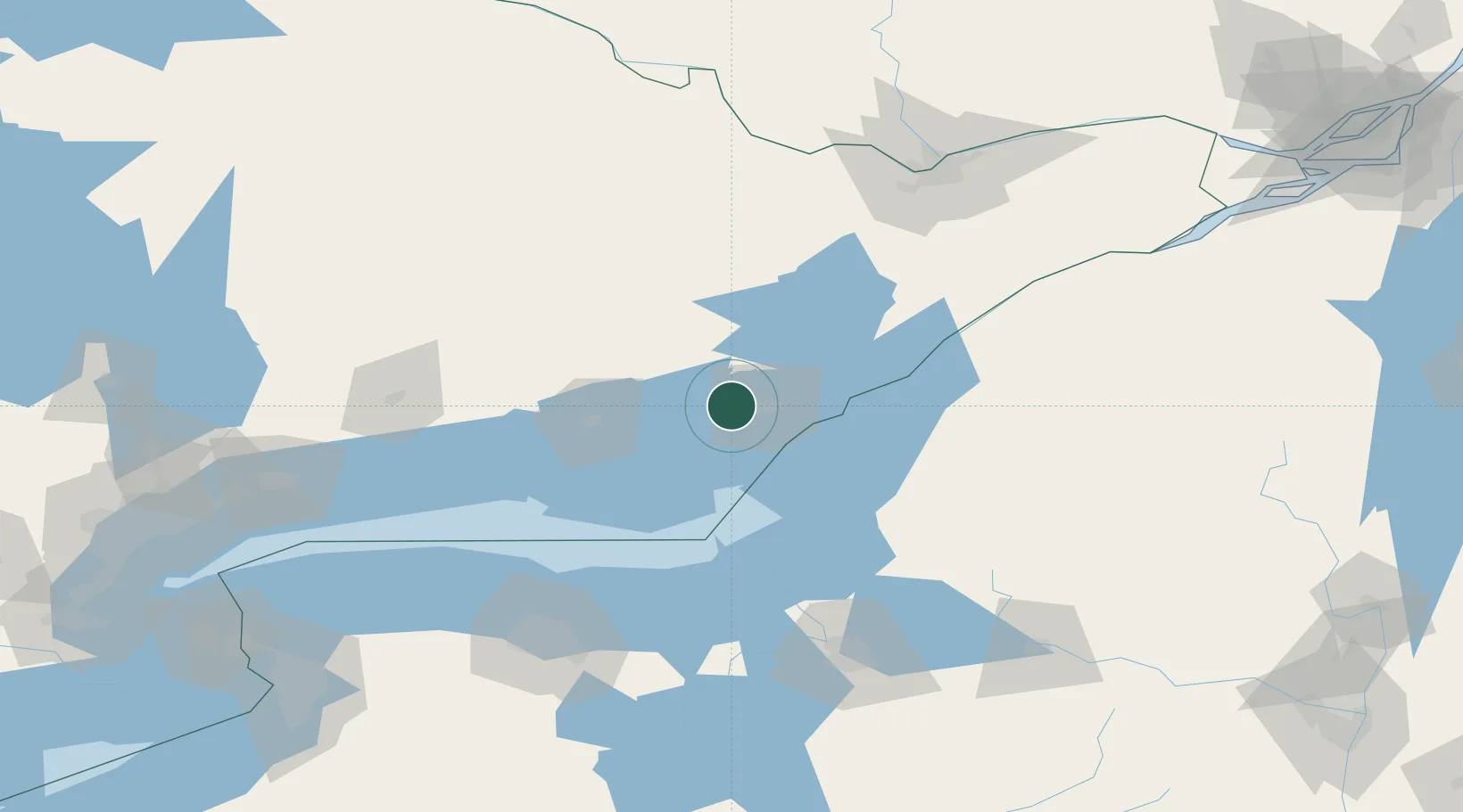
Location
Nearby Logistics Neighbours
Cities
- 1Napanee19 km
- 2Hartington19 km
- 3Deseronto26 km
- 4Roblin27 km
- 5Rockport48 km
Ports
- 1Millhaven8 km
- 2Kingston18 km
- 3Wolfe Island24 km
- 4Picton43 km
- 5Gananoque44 km
Airports
Trade Zones
- 1FTZ No. 109 Watertown73 km
- 2FTZ No. 090 Onondaga92 km
- 3FTZ No. 118 Ogdensburg108 km
- 4FTZ No. 172 Oneida County127 km
- 5FTZ No. 141 Monroe County148 km
DatabookThe Record of Consolidated Knowledge
Canada beyond logistics?