Medium airport · Canada
CFB TrentonCYTR
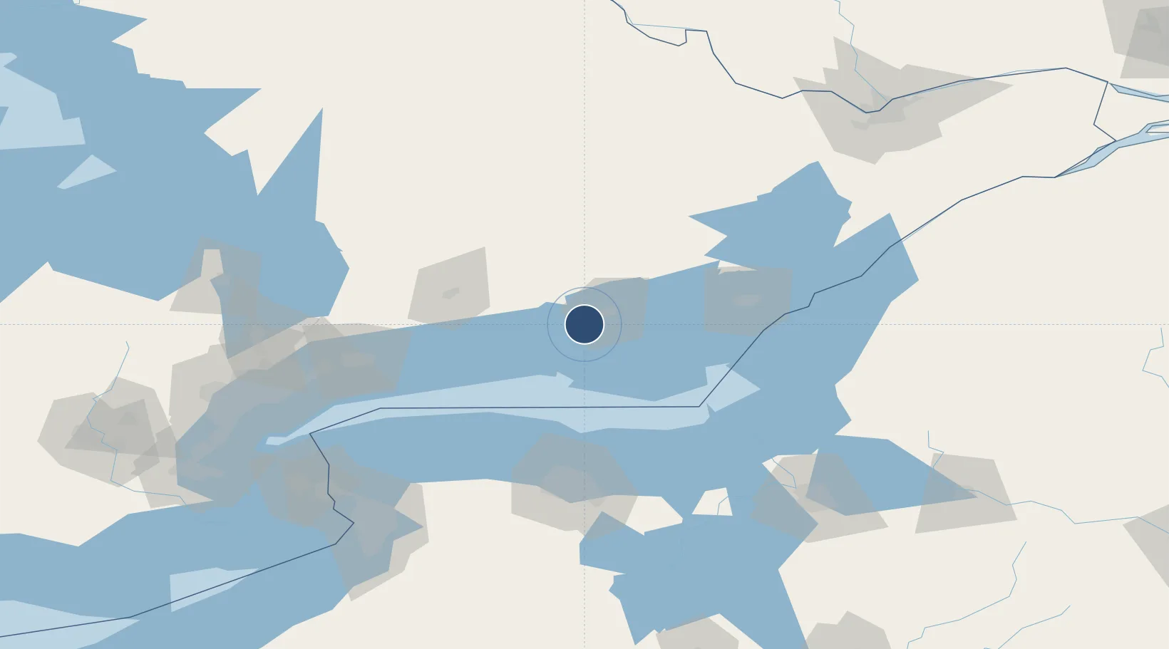
44.1189°, -77.5281°
10,000 ft
Longest runway
2
Runways
283 ft
Elevation
Runway & Layout

Radio Frequencies
ATIS
135.45 MHz
TWR
128.7 MHz
GND
121.9 MHz
CLD
124.35 MHz
CLNC DEL
A/D
128.4 MHz
APP/DEP
EMR
23.21 MHz
TIGER SAR OPS
OPS
122.35 MHz
WING OPS
PMSV
34.46 MHz
PMSV METRO
Navaids
UTR TACAN Trenton 109.70 MHz
YTR NDB Trenton 215 kHz
ZZR NDB Severn 317 kHz
Runways · 2
| Runway | Dimensions | Surface | True heading | Lit |
|---|---|---|---|---|
| 06/24 | 10,000 × 200ft | Asphalt | 051° | ✓ |
| 13/31 | 3,025 × 150ft | Asphalt | 120° | ✓ |
Airport Specifications
IATA code
YTR
ICAO code
CYTR
Airport class
Medium airport
Scheduled service
No
Runway surface
Asphalt
Served city
Trenton
Location
Nearby Logistics Neighbours
Airports
Cities
- 1Frankford10 km
- 2Foxboro16 km
- 3Stirling20 km
- 4Wellington26 km
- 5Campbellford29 km
Ports
- 1Trenton4 km
- 2Belleville11 km
- 3Picton34 km
- 4Cobourg54 km
- 5Port Hope64 km
Trade Zones
- 1FTZ No. 141 Monroe County99 km
- 2FTZ No. 090 Onondaga108 km
- 3FTZ No. 109 Watertown131 km
- 4FTZ No. 289 Ontario County146 km
- 5FTZ No. 034 Niagara County155 km
DatabookThe Record of Consolidated Knowledge
Canada beyond logistics?