Transport Functions
Rail
Road
Hub Profile
Place type
Populated place
Region
Ontario
Population
1,897
Time zone
America/Toronto
Elevation
96 m
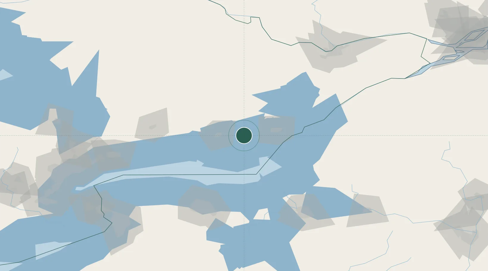
Location
Nearby Logistics Neighbours
Cities
- 1Napanee8 km
- 2Roblin22 km
- 3Odessa26 km
- 4Foxboro34 km
- 5Wellington38 km
Ports
- 1Picton21 km
- 2Millhaven23 km
- 3Belleville31 km
- 4Kingston42 km
- 5Trenton45 km
Airports
- 1Kingston Norman Rogers Airport34 km
- 2CFB Trenton41 km
- 3Watertown International Airport82 km
- 4Wheeler Sack Army Air Field105 km
- 5Peterborough Regional Airport107 km
Trade Zones
- 1FTZ No. 090 Onondaga90 km
- 2FTZ No. 109 Watertown92 km
- 3FTZ No. 141 Monroe County126 km
- 4FTZ No. 172 Oneida County131 km
- 5FTZ No. 118 Ogdensburg133 km
DatabookThe Record of Consolidated Knowledge
Canada beyond logistics?