Transport Functions
Rail
Road
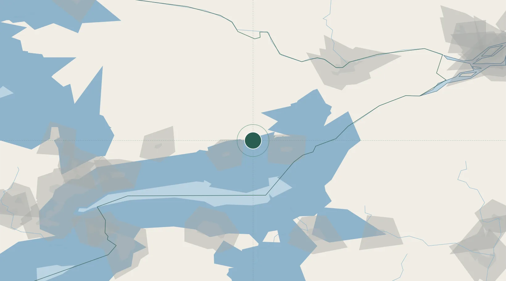
Hub Profile
Place type
Populated place
Region
Ontario
Time zone
America/Toronto
Elevation
142 m
Location
Nearby Logistics Neighbours
Cities
- 1Napanee18 km
- 2Deseronto22 km
- 3Odessa27 km
- 4Hartington28 km
- 5Foxboro36 km
Ports
- 1Millhaven30 km
- 2Belleville40 km
- 3Picton42 km
- 4Kingston44 km
- 5Wolfe Island51 km
Airports
Trade Zones
- 1FTZ No. 109 Watertown100 km
- 2FTZ No. 090 Onondaga110 km
- 3FTZ No. 118 Ogdensburg125 km
- 4FTZ No. 141 Monroe County144 km
- 5FTZ No. 172 Oneida County150 km
DatabookThe Record of Consolidated Knowledge
Canada beyond logistics?