Transport Functions
Rail
Road
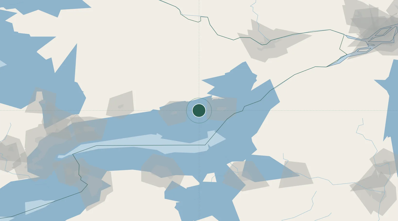
Hub Profile
Place type
Populated place
Region
Ontario
Population
7,439
Time zone
America/Toronto
Elevation
92 m
Location
Nearby Logistics Neighbours
Cities
- 1Deseronto8 km
- 2Roblin18 km
- 3Odessa19 km
- 4Hartington32 km
- 5Foxboro39 km
Ports
- 1Millhaven18 km
- 2Picton28 km
- 3Kingston36 km
- 4Belleville37 km
- 5Wolfe Island41 km
Airports
- 1Kingston Norman Rogers Airport28 km
- 2CFB Trenton48 km
- 3Watertown International Airport79 km
- 4Wheeler Sack Army Air Field100 km
- 5Peterborough Regional Airport113 km
Trade Zones
- 1FTZ No. 109 Watertown89 km
- 2FTZ No. 090 Onondaga93 km
- 3FTZ No. 118 Ogdensburg126 km
- 4FTZ No. 172 Oneida County133 km
- 5FTZ No. 141 Monroe County133 km
DatabookThe Record of Consolidated Knowledge
Canada beyond logistics?