Transport Functions
Road
Multimodal
Hub Profile
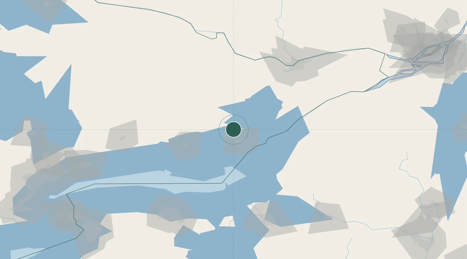
Place type
Populated place
Region
Ontario
Time zone
America/Toronto
Elevation
164 m
Location
Nearby Logistics Neighbours
Ports
- 1Kingston26 km
- 2Millhaven27 km
- 3Wolfe Island32 km
- 4Gananoque41 km
- 5Clayton54 km
Airports
Trade Zones
- 1FTZ No. 109 Watertown79 km
- 2FTZ No. 118 Ogdensburg97 km
- 3FTZ No. 090 Onondaga110 km
- 4FTZ No. 172 Oneida County142 km
- 5FTZ No. 141 Monroe County165 km
DatabookThe Record of Consolidated Knowledge
Canada beyond logistics?