Transport Functions
Rail
Road
Hub Profile
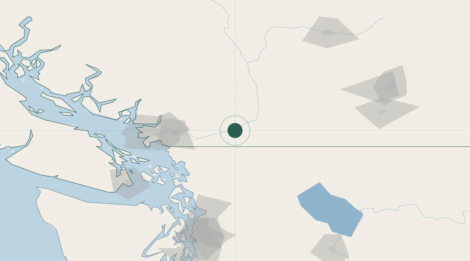
Place type
Populated place
Region
British Columbia
Population
6,300
Time zone
America/Vancouver
Elevation
17 m
Location
Nearby Logistics Neighbours
Cities
- 1Yarrow27 km
- 2Mission40 km
- 3Nooksack52 km
- 4Everson54 km
- 5Fort Langley59 km
Ports
- 1Mission City37 km
- 2Port Coquitlam73 km
- 3Bellingham76 km
- 4Blaine76 km
- 5Fraser Mills79 km
Airports
Trade Zones
- 1FTZ No. 128 Whatcom County74 km
- 2FTZ No. 129 Bellingham77 km
- 3FTZ Vancouver Island98 km
- 4FTZ No. 085 Everett141 km
- 5FTZ No. 005 Seattle188 km
DatabookThe Record of Consolidated Knowledge
Canada beyond logistics?