Transport Functions
Rail
Road
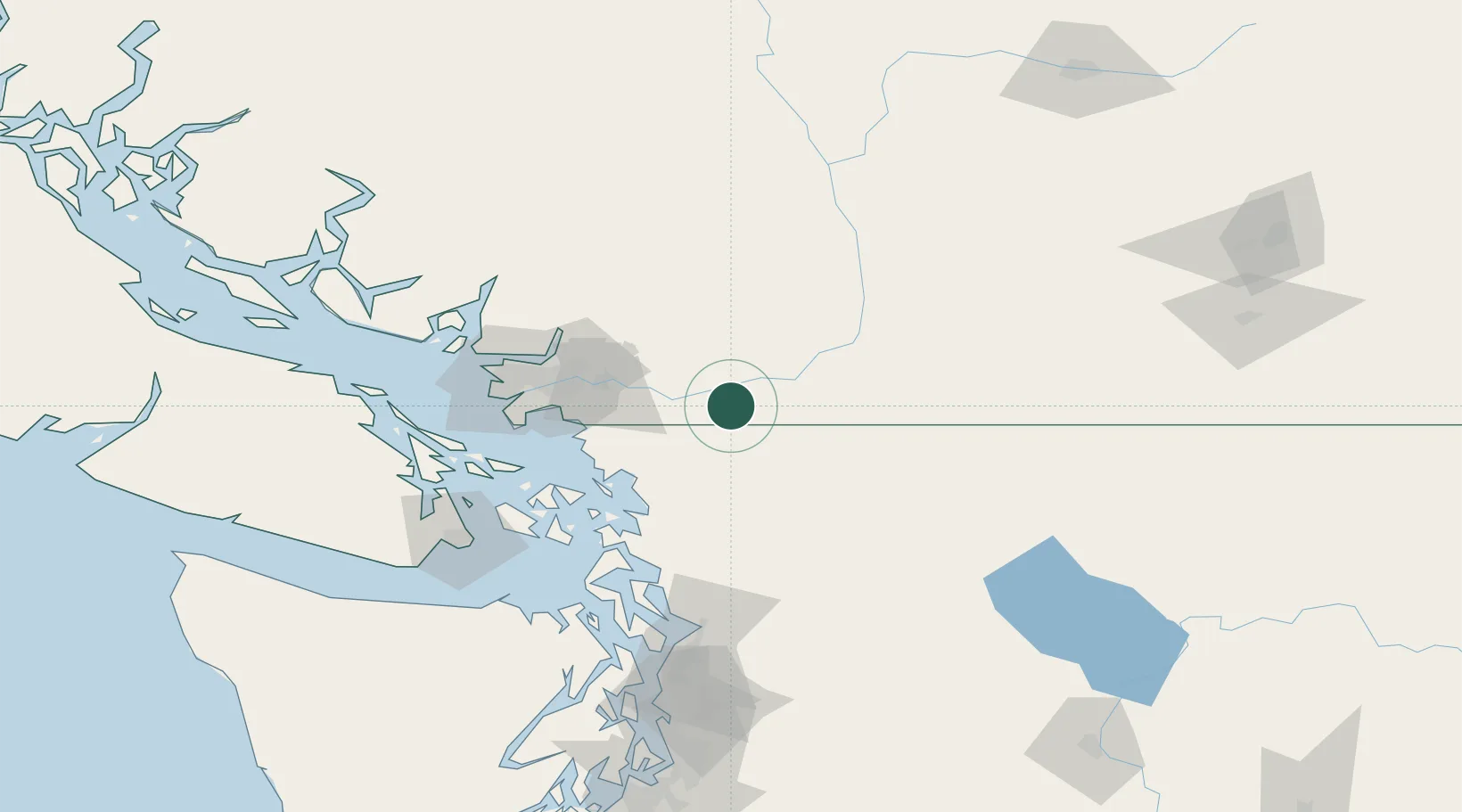
Hub Profile
Place type
Populated place
Region
British Columbia
Population
3,326
Time zone
America/Vancouver
Elevation
9 m
Location
Nearby Logistics Neighbours
Ports
- 1Mission City17 km
- 2Bellingham50 km
- 3Blaine52 km
- 4Port Coquitlam55 km
- 5Cherry Point57 km
Airports
Trade Zones
- 1FTZ No. 128 Whatcom County47 km
- 2FTZ No. 129 Bellingham51 km
- 3FTZ Vancouver Island80 km
- 4FTZ No. 085 Everett121 km
- 5FTZ No. 005 Seattle167 km
DatabookThe Record of Consolidated Knowledge
Canada beyond logistics?