Transport Functions
Rail
Road
Multimodal
Hub Profile
Place type
Populated place
Region
British Columbia
Population
2,828
Time zone
America/Vancouver
Elevation
660 m
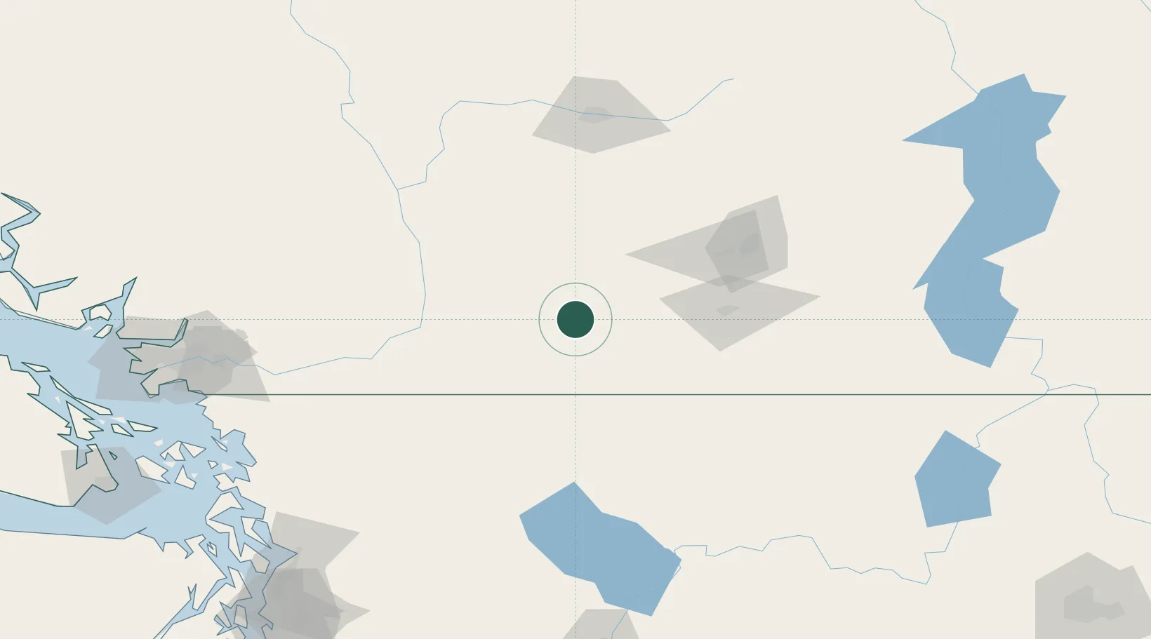
Location
Nearby Logistics Neighbours
Cities
- 1Cawston61 km
- 2Naramata68 km
- 3Okanagan Falls68 km
- 4Oliver76 km
- 5West Kelowna80 km
Ports
- 1Mission City132 km
- 2Bellingham165 km
- 3Port Coquitlam166 km
- 4Blaine171 km
- 5Fraser Mills173 km
Airports
Trade Zones
- 1FTZ No. 128 Whatcom County165 km
- 2FTZ No. 129 Bellingham167 km
- 3FTZ Vancouver Island191 km
- 4FTZ No. 085 Everett204 km
- 5FTZ No. 005 Seattle251 km
DatabookThe Record of Consolidated Knowledge
Canada beyond logistics?