UN/LOCODE hub · Canada
CANPP

Northampton

46.0667°, -67.5500°
1
Transport functions

Transport Functions

Multimodal
UN/LOCODE

Hub Profile

Place type
Urban district
GeoNames
Region
New Brunswick
GeoNames
Time zone
America/Moncton
GeoNames
Elevation
50 m
GeoNames

Location

Location of CANPP
Natural Earth 10m (public domain) · New Brunswick · CANPP · 46.07, -67.55GoogleOSMYandex

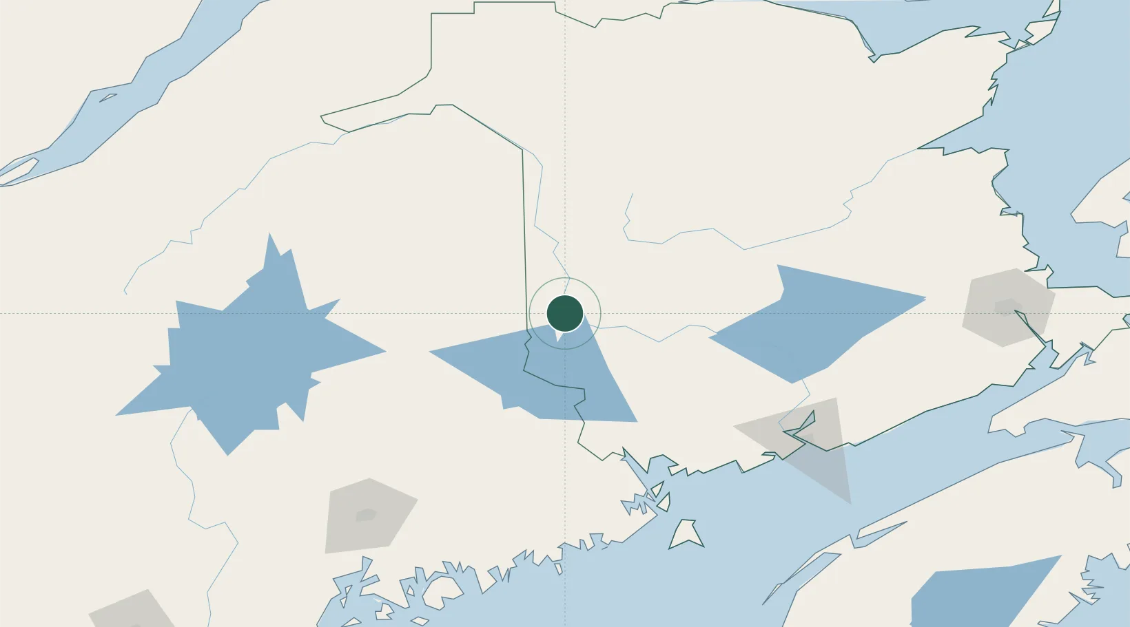
Nearby Logistics Neighbours

Cities
  1. 1Jacksonville11 km
  2. 2Hartland24 km
  3. 3Nackawic26 km
  4. 4Island Falls56 km
  5. 5Harvey Station58 km
Nearest neighbours — logibook spatial index (haversine) over the source coordinates
Ports
  1. 1Port Bayside Nb107 km
  2. 2Eastport137 km
  3. 3Lubec141 km
  4. 4St John147 km
  5. 5Machias150 km
Nearest neighbours — logibook spatial index (haversine) over the source coordinates
Airports
  1. 1Houlton International Airport20 km
  2. 2Presque Isle International Airport79 km
  3. 3Fredericton International Airport82 km
  4. 4Caribou Municipal Airport96 km
  5. 5Saint-Léonard Airport123 km
Nearest neighbours — logibook spatial index (haversine) over the source coordinates
Trade Zones
  1. 1Saint John145 km
  2. 2FTZ No. 179 Madawaska148 km
  3. 3FTZ No. 058 Bangor171 km
  4. 4FTZ No. 186 Waterville239 km
  5. 5Québec City FTZ296 km
Nearest neighbours — logibook spatial index (haversine) over the source coordinates
DatabookThe Record of Consolidated Knowledge
Canada beyond logistics?
Browse databook

All Sources

LocationsUN/LOCODE
UN/LOCODE — free
Portsthe NGA World Port Index
Public domain (US gov)
AirportsOurAirports
Public domain
Trade Zonesthe World Bank SEZ database
CC BY 4.0
Trade ZonesOpen Zone Map
CC BY
← Canada locations