Transport Functions
Rail
Road
Hub Profile
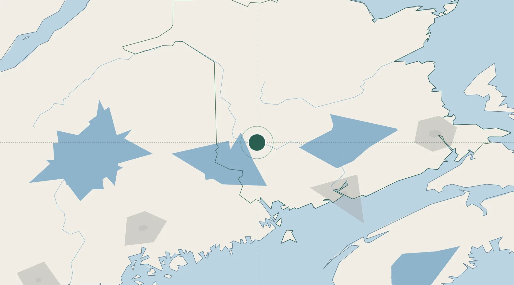
Place type
Populated place
Region
New Brunswick
Population
962
Time zone
America/Moncton
Elevation
70 m
Location
Nearby Logistics Neighbours
Cities
- 1Northampton26 km
- 2Jacksonville34 km
- 3Harvey Station35 km
- 4Hartland40 km
- 5Fredericton45 km
Ports
- 1Port Bayside Nb93 km
- 2St John122 km
- 3Eastport122 km
- 4Lubec126 km
- 5Canaport (St. John)131 km
Airports
Trade Zones
- 1Saint John120 km
- 2FTZ No. 179 Madawaska167 km
- 3FTZ No. 058 Bangor180 km
- 4FTZ No. 186 Waterville251 km
- 5FTZ No. 263 Auburn314 km
DatabookThe Record of Consolidated Knowledge
Canada beyond logistics?