UN/LOCODE hub · United States
USIFL
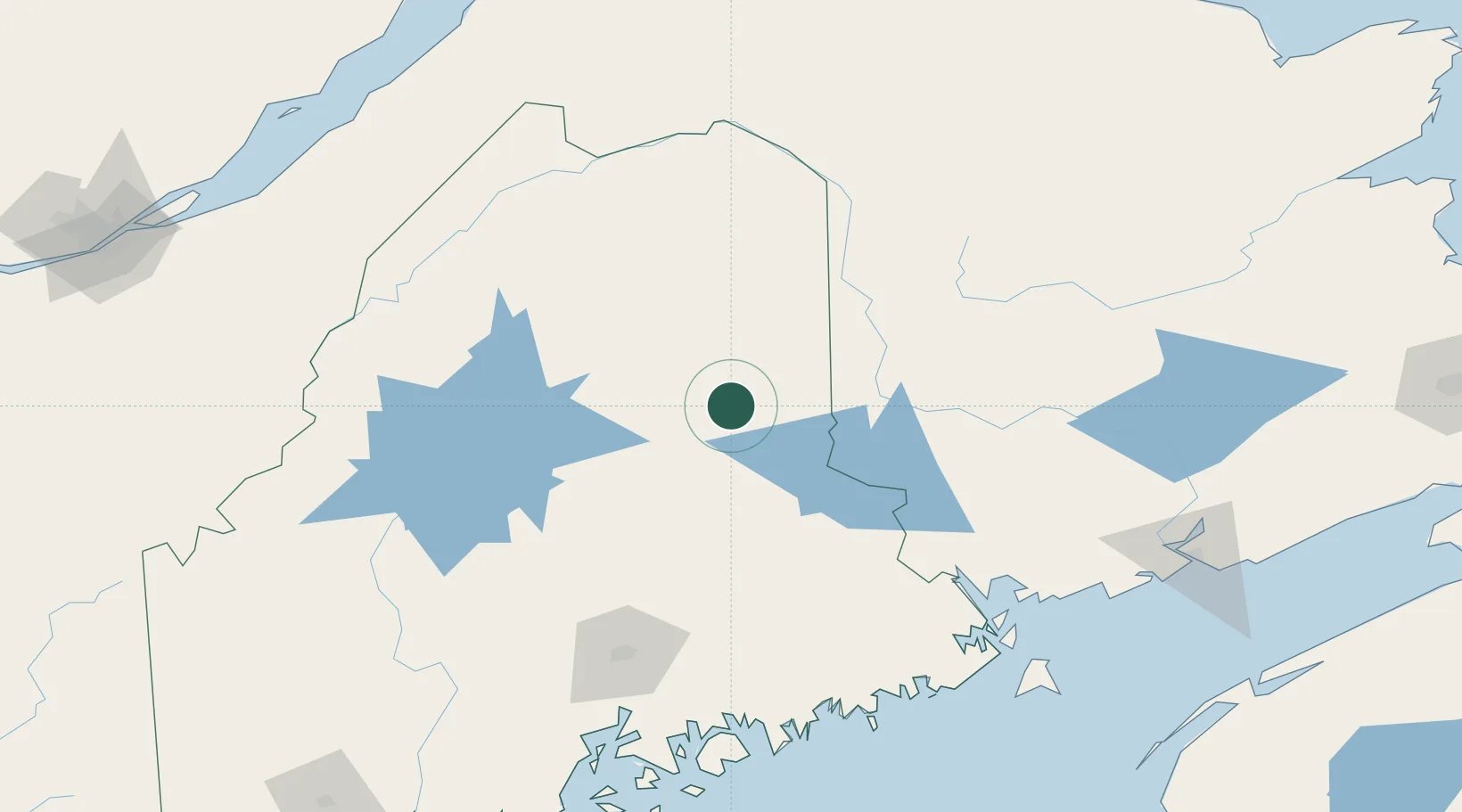
Island Falls
46.0000°, -68.2667°
824
Population
4
Transport functions
Transport Functions
Port
Rail
Road
Multimodal
Hub Profile
Place type
Populated place
Region
Maine
Population
824
Time zone
America/New_York
Elevation
143 m
Location
Nearby Logistics Neighbours
Cities
- 1Patten13 km
- 2Northampton56 km
- 3Jacksonville56 km
- 4Hartland66 km
- 5Gilford77 km
Ports
- 1Port Bayside Nb129 km
- 2Bangor139 km
- 3Machias156 km
- 4Eastport158 km
- 5Winterport159 km
Airports
Trade Zones
- 1FTZ No. 058 Bangor139 km
- 2FTZ No. 179 Madawaska143 km
- 3Saint John189 km
- 4FTZ No. 186 Waterville197 km
- 5Québec City FTZ247 km
DatabookThe Record of Consolidated Knowledge
United States beyond logistics?