Transport Functions
Rail
Road
Hub Profile
Place type
Populated place
Region
New Brunswick
Time zone
America/Moncton
Elevation
138 m
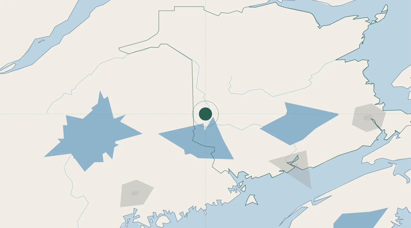
Location
Nearby Logistics Neighbours
Cities
- 1Northampton11 km
- 2Hartland14 km
- 3Nackawic34 km
- 4Island Falls56 km
- 5Perth-Andover64 km
Ports
- 1Port Bayside Nb118 km
- 2Eastport148 km
- 3Lubec152 km
- 4St John156 km
- 5Machias162 km
Airports
Trade Zones
- 1FTZ No. 179 Madawaska137 km
- 2Saint John154 km
- 3FTZ No. 058 Bangor179 km
- 4FTZ No. 186 Waterville245 km
- 5Québec City FTZ291 km
DatabookThe Record of Consolidated Knowledge
Canada beyond logistics?