Transport Functions
Rail
Road
Hub Profile
Place type
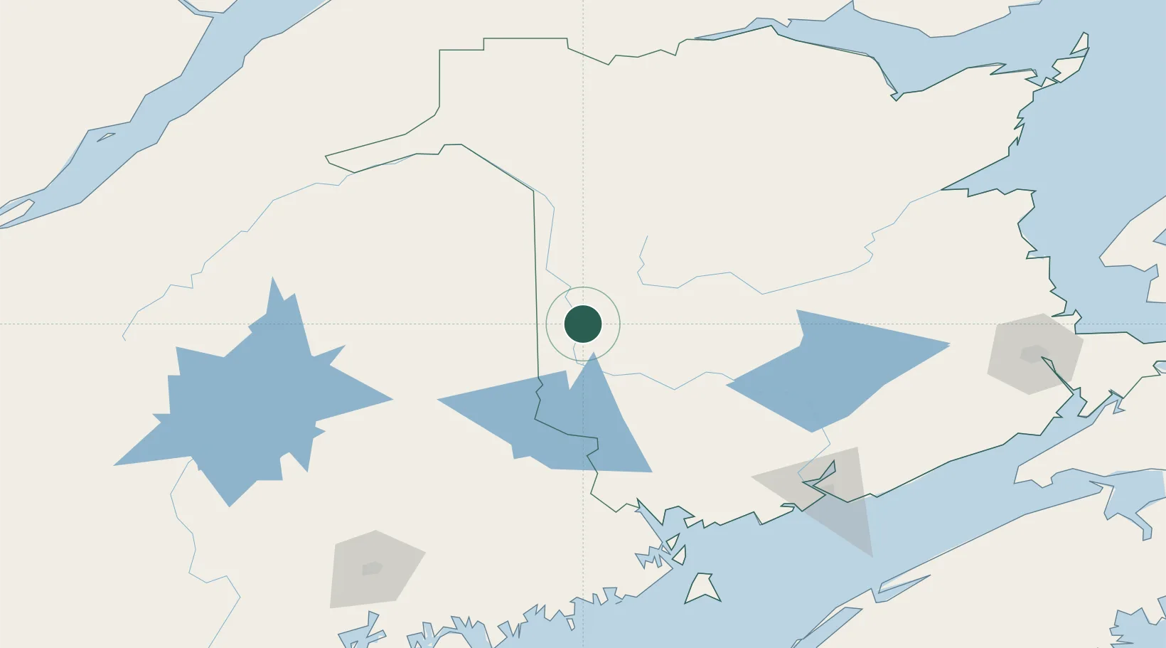
Populated place
Region
New Brunswick
Population
902
Time zone
America/Moncton
Elevation
99 m
Location
Nearby Logistics Neighbours
Cities
- 1Jacksonville14 km
- 2Northampton24 km
- 3Nackawic40 km
- 4Perth-Andover52 km
- 5Island Falls66 km
Ports
- 1Port Bayside Nb130 km
- 2Eastport159 km
- 3St John160 km
- 4Lubec163 km
- 5Canaport (St. John)169 km
Airports
Trade Zones
- 1FTZ No. 179 Madawaska127 km
- 2Saint John159 km
- 3FTZ No. 058 Bangor193 km
- 4FTZ No. 186 Waterville258 km
- 5Québec City FTZ292 km
DatabookThe Record of Consolidated Knowledge
Canada beyond logistics?