Medium airport · United States

Caribou Municipal AirportKCAR
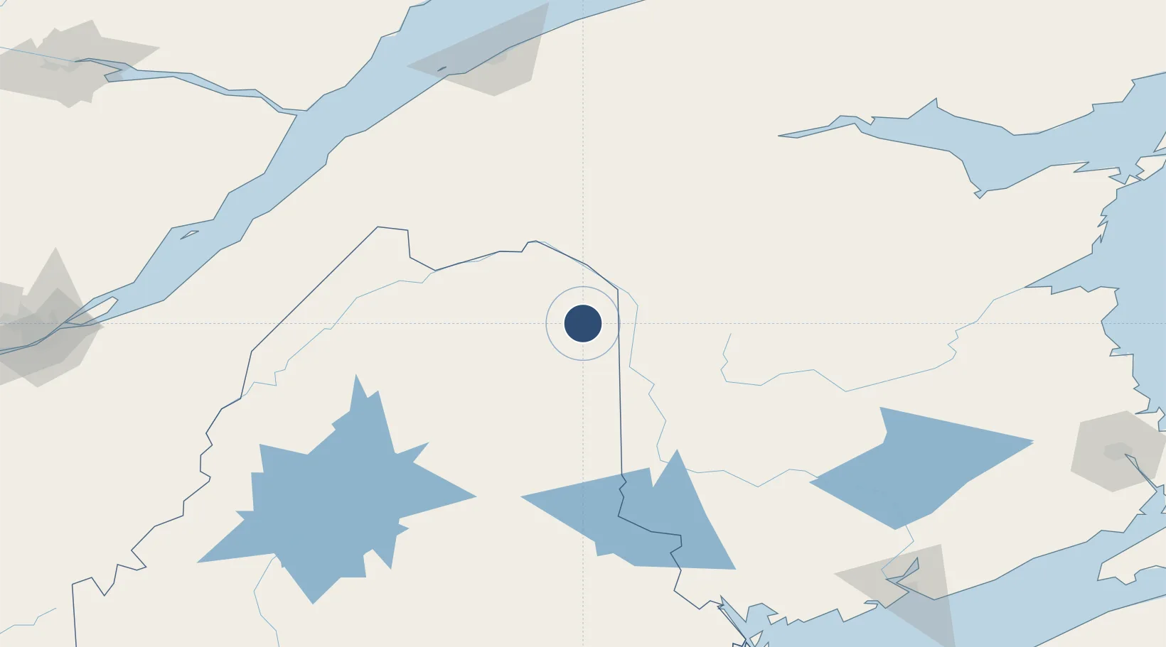
46.8715°, -68.0179°
4,003 ft
Longest runway
2
Runways
626 ft
Elevation

Runway & Layout

Caribou Municipal Airport runway & taxiway layout
Runway & taxiway layout — OpenStreetMap (ODbL) / OurAirports

Radio Frequencies

ASOS
135.125 MHz
CNTR
124.75 MHz
BOSTON CNTR
RDO
122.3 MHz
BANGOR RDO
UNIC
122.8 MHz
CTAF/UNICOM
OurAirports

Navaids

PQI VOR-DME Presque Isle 116.40 MHz
OurAirports

Runways · 2

RunwayDimensions SurfaceTrue headingLit
01/19 4,003 × 100ft Asphalt 347°
11/29 3,016 × 75ft Asphalt 086°
OurAirports

Airport Specifications

IATA code
CAR
OurAirports
ICAO code
KCAR
OurAirports
Airport class
Medium airport
OurAirports
Scheduled service
No
OurAirports
Runway surface
Asphalt
OurAirports
Served city
Caribou
OurAirports

Location

Location of KCAR
Natural Earth 10m (public domain) · Maine · KCAR · 46.87, -68.02GoogleOSMYandex

Nearby Logistics Neighbours

Airports
  1. 1Presque Isle International Airport20 km
  2. 2Saint-Léonard Airport35 km
  3. 3Houlton International Airport85 km
  4. 4Rivière-du-Loup Airport154 km
  5. 5Fredericton International Airport160 km
Nearest neighbours — logibook spatial index (haversine) over the source coordinates
Cities
  1. 1Limestone16 km
  2. 2Grand Falls29 km
  3. 3Grand-Sault29 km
  4. 4Perth-Andover30 km
  5. 5Hartland76 km
Nearest neighbours — logibook spatial index (haversine) over the source coordinates
Ports
  1. 1Riviere Du Loup156 km
  2. 2Rimouski180 km
  3. 3Dalhousie182 km
  4. 4Port Bayside Nb203 km
  5. 5Matane223 km
Nearest neighbours — logibook spatial index (haversine) over the source coordinates
Trade Zones
  1. 1FTZ No. 179 Madawaska52 km
  2. 2Saint John233 km
  3. 3FTZ No. 058 Bangor238 km
  4. 4Québec City FTZ246 km
  5. 5FTZ No. 186 Waterville290 km
Nearest neighbours — logibook spatial index (haversine) over the source coordinates
DatabookThe Record of Consolidated Knowledge
United States beyond logistics?
Browse databook

All Sources

AirportsOurAirports
Public domain
Portsthe NGA World Port Index
Public domain (US gov)
LocationsUN/LOCODE
UN/LOCODE — free
Trade Zonesthe World Bank SEZ database
CC BY 4.0
Trade ZonesOpen Zone Map
CC BY
InfrastructureOpenStreetMap
ODbL 1.0
← United States airports