Medium airport · Canada
Saint-Léonard AirportCYSL
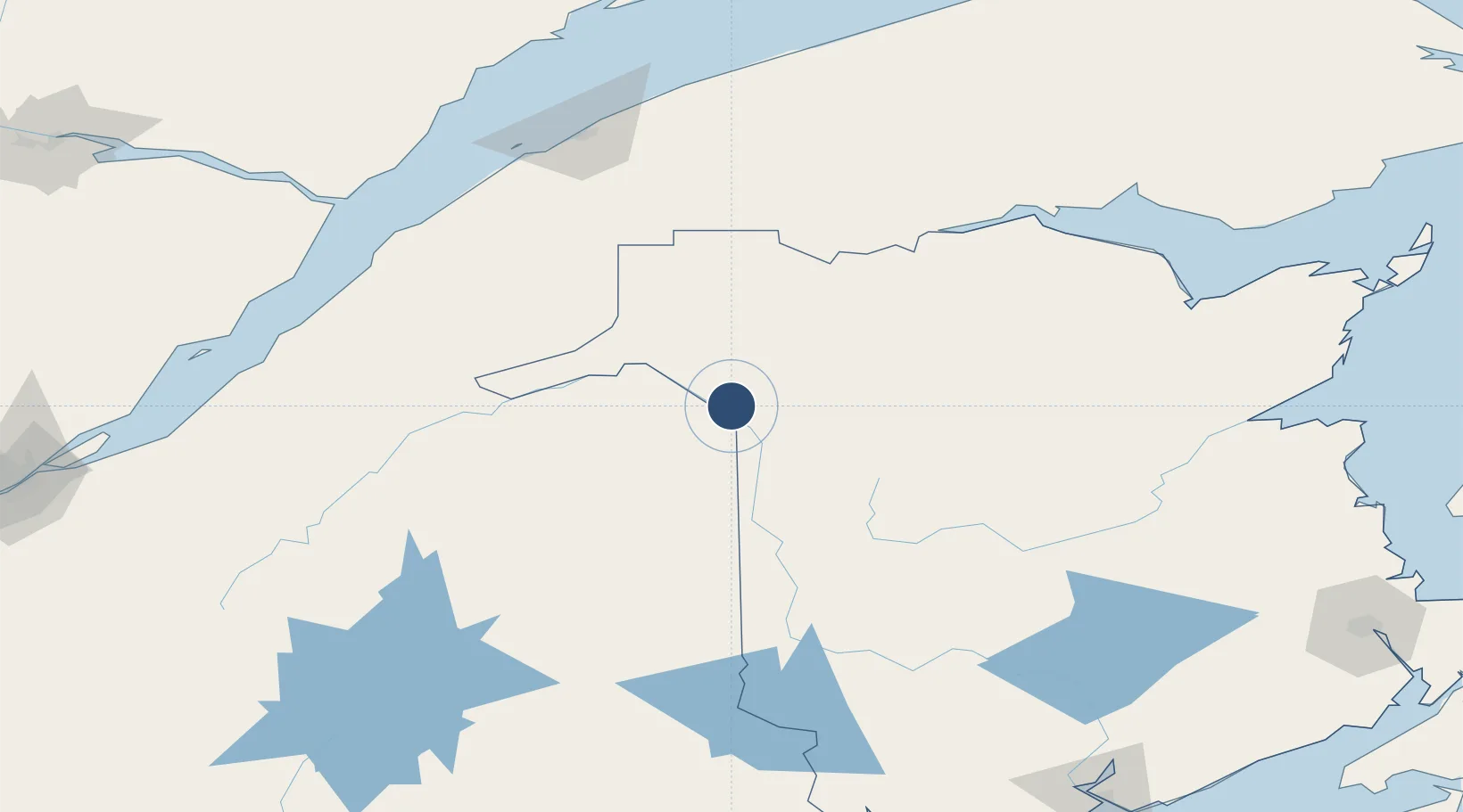
47.1571°, -67.8362°
4,000 ft
Longest runway
1
Runways
793 ft
Elevation
Runway & Layout

Radio Frequencies
CNTR
124.75 MHz
BOSTON CNTR
UNIC
122.7 MHz
ATF/UNICOM
Runways · 1
| Runway | Dimensions | Surface | True heading | Lit |
|---|---|---|---|---|
| 18/36 | 4,000 × 100ft | Asphalt | 156° | ✓ |
Airport Specifications
IATA code
YSL
ICAO code
CYSL
Airport class
Medium airport
Scheduled service
Yes
Runway surface
Asphalt
Served city
Saint-Léonard
Location
Nearby Logistics Neighbours
Airports
- 1Caribou Municipal Airport35 km
- 2Presque Isle International Airport54 km
- 3Houlton International Airport115 km
- 4Charlo Airport146 km
- 5Rivière-du-Loup Airport148 km
Cities
- 1Grand Falls14 km
- 2Grand-Sault14 km
- 3Limestone29 km
- 4Perth-Andover49 km
- 5Hartland100 km
Ports
- 1Riviere Du Loup147 km
- 2Dalhousie150 km
- 3Rimouski153 km
- 4Matane190 km
- 5Caraquet230 km
Trade Zones
- 1FTZ No. 179 Madawaska41 km
- 2Saint John250 km
- 3Québec City FTZ262 km
- 4FTZ No. 058 Bangor272 km
- 5FTZ No. 186 Waterville325 km
DatabookThe Record of Consolidated Knowledge
Canada beyond logistics?