Medium airport · United States

Presque Isle International AirportKPQI
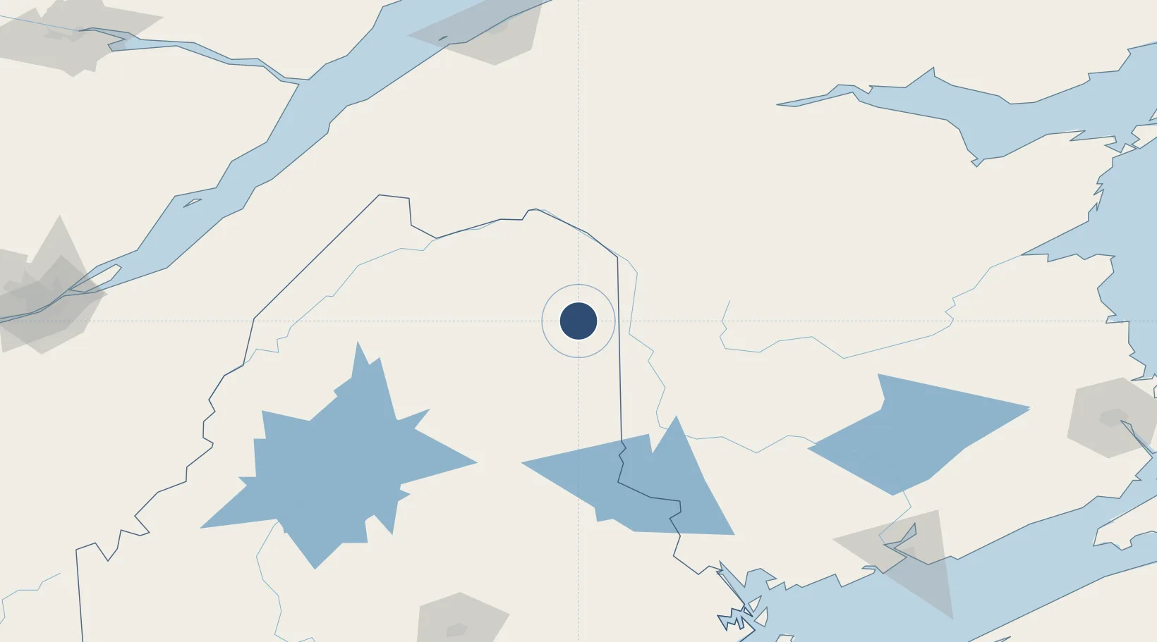
46.6890°, -68.0448°
7,441 ft
Longest runway
2
Runways
534 ft
Elevation

Runway & Layout

Presque Isle International Airport runway & taxiway layout
Runway & taxiway layout — OpenStreetMap (ODbL) / OurAirports

Radio Frequencies

AWOS
118.025 MHz
AWOS 3
CLD
121.6 MHz
BOSTON CLNC DEL
CNTR
124.75 MHz
BOSTON CNTR
UNIC
122.8 MHz
CTAF/UNICOM
OurAirports

Navaids

PQ NDB Excal 278 kHz
OurAirports

Runways · 2

RunwayDimensions SurfaceTrue headingLit
01/19 7,441 × 150ft Asphalt 346°
10/28 6,000 × 100ft Asphalt 076°
OurAirports

Airport Specifications

IATA code
PQI
OurAirports
ICAO code
KPQI
OurAirports
Airport class
Medium airport
OurAirports
Scheduled service
Yes
OurAirports
Runway surface
Asphalt
OurAirports
Served city
Presque Isle
OurAirports

Location

Location of KPQI
Natural Earth 10m (public domain) · Maine · KPQI · 46.69, -68.04GoogleOSMYandex

Nearby Logistics Neighbours

Airports
  1. 1Caribou Municipal Airport20 km
  2. 2Saint-Léonard Airport54 km
  3. 3Houlton International Airport66 km
  4. 4Fredericton International Airport148 km
  5. 5Rivière-du-Loup Airport167 km
Nearest neighbours — logibook spatial index (haversine) over the source coordinates
Cities
  1. 1Perth-Andover28 km
  2. 2Limestone29 km
  3. 3Grand Falls47 km
  4. 4Grand-Sault47 km
  5. 5Hartland61 km
Nearest neighbours — logibook spatial index (haversine) over the source coordinates
Ports
  1. 1Riviere Du Loup169 km
  2. 2Port Bayside Nb185 km
  3. 3Dalhousie199 km
  4. 4Rimouski199 km
  5. 5Eastport215 km
Nearest neighbours — logibook spatial index (haversine) over the source coordinates
Trade Zones
  1. 1FTZ No. 179 Madawaska70 km
  2. 2FTZ No. 058 Bangor218 km
  3. 3Saint John219 km
  4. 4Québec City FTZ245 km
  5. 5FTZ No. 186 Waterville271 km
Nearest neighbours — logibook spatial index (haversine) over the source coordinates
DatabookThe Record of Consolidated Knowledge
United States beyond logistics?
Browse databook

All Sources

AirportsOurAirports
Public domain
Portsthe NGA World Port Index
Public domain (US gov)
LocationsUN/LOCODE
UN/LOCODE — free
Trade Zonesthe World Bank SEZ database
CC BY 4.0
Trade ZonesOpen Zone Map
CC BY
InfrastructureOpenStreetMap
ODbL 1.0
← United States airports