Transport Functions
Port
Rail
Road
Hub Profile
Place type
Populated place
Region
British Columbia
Population
10,664
Time zone
America/Vancouver
Elevation
541 m
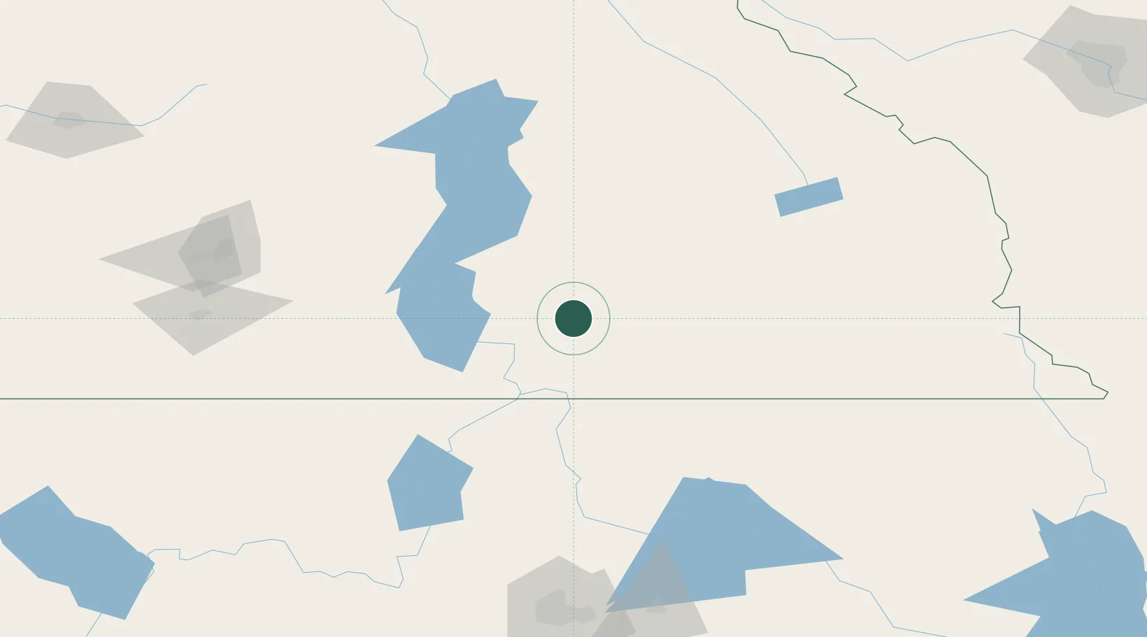
Location
Nearby Logistics Neighbours
Cities
- 1Salmo32 km
- 2Kaslo54 km
- 3New Denver56 km
- 4Erickson75 km
- 5Nakusp91 km
Ports
- 1Mission City361 km
- 2Bellingham387 km
- 3Everett396 km
- 4Port Coquitlam397 km
- 5Blaine399 km
Airports
Trade Zones
- 1FTZ No. 242 Boundary County89 km
- 2FTZ No. 224 Spokane202 km
- 3Calgary Region Inland Port288 km
- 4FTZ No. 203 Moses Lake302 km
- 5FTZ No. 187 Toole County378 km
DatabookThe Record of Consolidated Knowledge
Canada beyond logistics?