Transport Functions
Rail
Road
Hub Profile
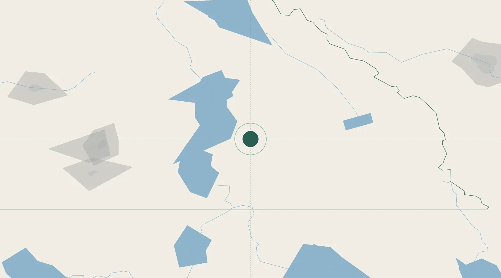
Place type
Populated place
Region
British Columbia
Population
487
Time zone
America/Vancouver
Elevation
552 m
Location
Nearby Logistics Neighbours
Cities
- 1Kaslo34 km
- 2Nakusp42 km
- 3Nelson56 km
- 4Salmo87 km
- 5Cherryville93 km
Ports
- 1Mission City365 km
- 2Bellingham396 km
- 3Port Coquitlam398 km
- 4Blaine404 km
- 5Fraser Mills404 km
Airports
Trade Zones
- 1FTZ No. 242 Boundary County143 km
- 2FTZ No. 224 Spokane257 km
- 3Calgary Region Inland Port262 km
- 4FTZ No. 203 Moses Lake349 km
- 5FTZ No. 128 Whatcom County397 km
DatabookThe Record of Consolidated Knowledge
Canada beyond logistics?