Transport Functions
Port
Road
Hub Profile
Place type
Populated place
Region
British Columbia
Population
1,049
Time zone
America/Vancouver
Elevation
656 m
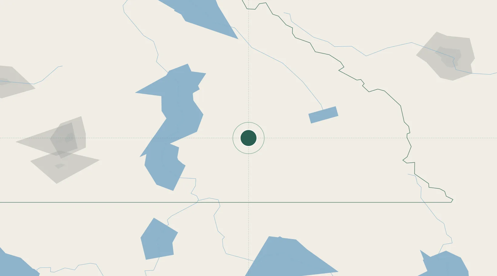
Location
Nearby Logistics Neighbours
Cities
- 1New Denver34 km
- 2Nelson54 km
- 3Nakusp73 km
- 4Salmo82 km
- 5Invermere93 km
Ports
- 1Mission City395 km
- 2Bellingham424 km
- 3Port Coquitlam428 km
- 4Blaine433 km
- 5Fraser Mills435 km
Airports
Trade Zones
- 1FTZ No. 242 Boundary County128 km
- 2Calgary Region Inland Port239 km
- 3FTZ No. 224 Spokane251 km
- 4FTZ No. 203 Moses Lake356 km
- 5FTZ No. 187 Toole County365 km
DatabookThe Record of Consolidated Knowledge
Canada beyond logistics?