Transport Functions
Port
Rail
Road
Hub Profile
Place type
Populated place
Region
British Columbia
Population
1,706
Time zone
America/Vancouver
Elevation
484 m
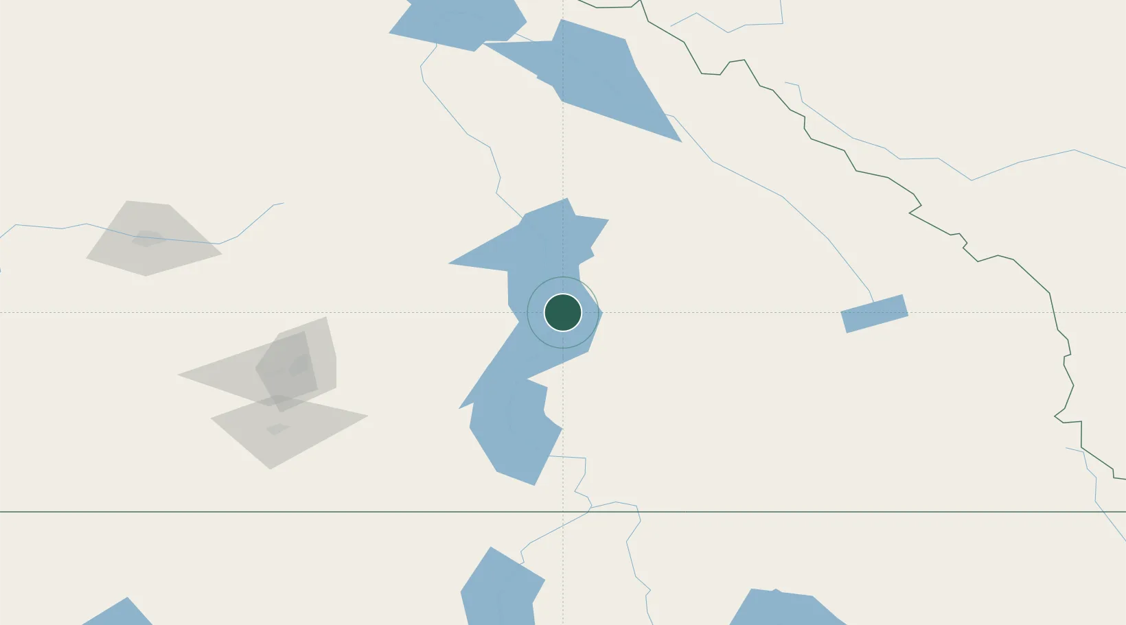
Location
Nearby Logistics Neighbours
Cities
- 1New Denver42 km
- 2Cherryville58 km
- 3Kaslo73 km
- 4Nelson91 km
- 5Armstrong101 km
Ports
- 1Mission City343 km
- 2Port Coquitlam374 km
- 3Bellingham377 km
- 4Port Moody380 km
- 5Fraser Mills380 km
Airports
- 1Revelstoke Airport86 km
- 2Castlegar/West Kootenay Regional Airport105 km
- 3Vernon Regional Airport109 km
- 4Shuswap Regional Airport113 km
- 5Kelowna International Airport117 km
Trade Zones
- 1FTZ No. 242 Boundary County179 km
- 2Calgary Region Inland Port278 km
- 3FTZ No. 224 Spokane286 km
- 4FTZ No. 203 Moses Lake363 km
- 5FTZ No. 128 Whatcom County377 km
DatabookThe Record of Consolidated Knowledge
Canada beyond logistics?