Transport Functions
Road
Multimodal
Hub Profile
Place type
Populated place
Region
British Columbia
Population
717
Time zone
America/Vancouver
Elevation
567 m
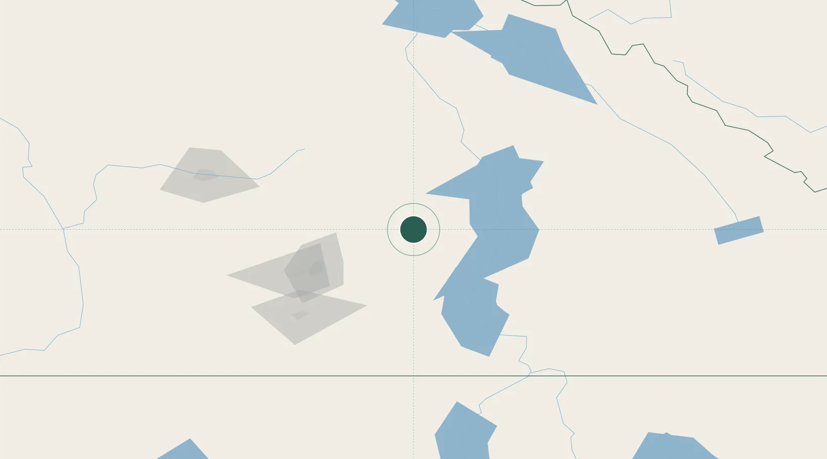
Location
Nearby Logistics Neighbours
Ports
- 1Mission City289 km
- 2Port Coquitlam318 km
- 3Port Moody324 km
- 4Fraser Mills325 km
- 5Bellingham325 km
Airports
- 1Vernon Regional Airport51 km
- 2Kelowna International Airport62 km
- 3Shuswap Regional Airport66 km
- 4Revelstoke Airport87 km
- 5Penticton Airport111 km
Trade Zones
- 1FTZ No. 242 Boundary County210 km
- 2FTZ No. 224 Spokane297 km
- 3FTZ No. 128 Whatcom County325 km
- 4FTZ No. 129 Bellingham327 km
- 5Calgary Region Inland Port333 km
DatabookThe Record of Consolidated Knowledge
Canada beyond logistics?