Medium airport · Canada
Revelstoke AirportCYRV
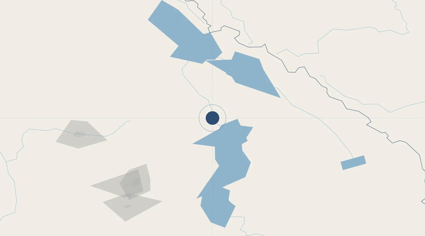
50.9622°, -118.1843°
4,800 ft
Longest runway
1
Runways
1,459 ft
Elevation
Runway & Layout

Radio Frequencies
RCO
126.7 MHz
PACIFIC RDO
UNIC
122.8 MHz
ATF/UNICOM
Runways · 1
| Runway | Dimensions | Surface | True heading | Lit |
|---|---|---|---|---|
| 12/30 | 4,800 × 75ft | Asphalt | 138° | — |
Airport Specifications
IATA code
YRV
ICAO code
CYRV
Airport class
Medium airport
Scheduled service
No
Runway surface
Asphalt
Served city
Revelstoke
Location
Nearby Logistics Neighbours
Airports
- 1Shuswap Regional Airport80 km
- 2Golden Airport92 km
- 3Vernon Regional Airport114 km
- 4Kelowna International Airport140 km
- 5Blue River Airport149 km
Cities
- 1Sicamous58 km
- 2Fraser Wharves71 km
- 3Grindrod75 km
- 4Enderby82 km
- 5Nakusp86 km
Ports
- 1Mission City354 km
- 2Port Coquitlam379 km
- 3Port Moody383 km
- 4Fraser Mills385 km
- 5New Westminster390 km
Trade Zones
- 1FTZ No. 242 Boundary County265 km
- 2Calgary Region Inland Port288 km
- 3FTZ No. 224 Spokane369 km
- 4FTZ No. 128 Whatcom County393 km
- 5FTZ No. 129 Bellingham397 km
DatabookThe Record of Consolidated Knowledge
Canada beyond logistics?