Transport Functions
Rail
Road
Hub Profile
Place type
Populated place
Region
New Brunswick
Time zone
America/Moncton
Elevation
71 m
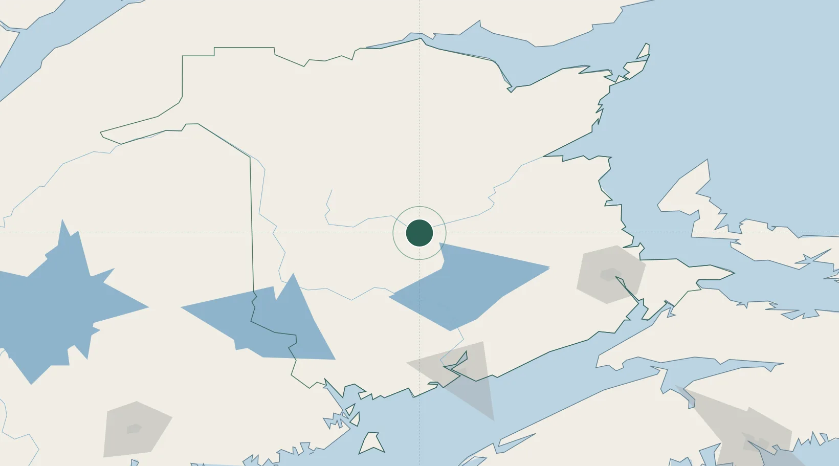
Location
Nearby Logistics Neighbours
Cities
- 1Doaktown23 km
- 2Minto48 km
- 3Chipman52 km
- 4Fredericton59 km
- 5Oromocto69 km
Ports
- 1St John134 km
- 2Canaport (St. John)143 km
- 3Port Bayside Nb155 km
- 4Eastport178 km
- 5Dalhousie180 km
Airports
Trade Zones
- 1Saint John133 km
- 2FTZ No. 179 Madawaska174 km
- 3FTZ No. 058 Bangor262 km
- 4Halifax Gateway297 km
- 5FTZ No. 186 Waterville333 km
DatabookThe Record of Consolidated Knowledge
Canada beyond logistics?