Transport Functions
Rail
Road
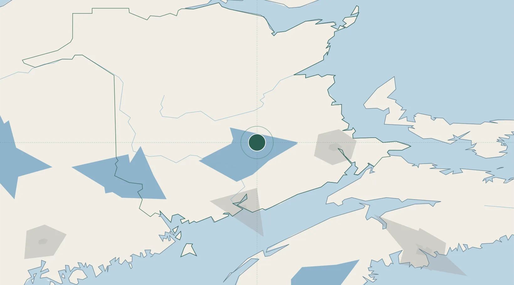
Hub Profile
Place type
Populated place
Region
New Brunswick
Population
1,201
Time zone
America/Moncton
Elevation
8 m
Location
Nearby Logistics Neighbours
Cities
- 1Minto18 km
- 2Jemseg43 km
- 3Doaktown47 km
- 4Boiestown52 km
- 5Penobsquis57 km
Ports
- 1St John101 km
- 2Canaport (St. John)108 km
- 3Port Bayside Nb150 km
- 4Summerside162 km
- 5Eastport166 km
Airports
Trade Zones
- 1Saint John101 km
- 2FTZ No. 179 Madawaska226 km
- 3Halifax Gateway245 km
- 4FTZ No. 058 Bangor275 km
- 5FTZ No. 186 Waterville350 km
DatabookThe Record of Consolidated Knowledge
Canada beyond logistics?