Transport Functions
Port
Multimodal
Hub Profile
Place type
Populated place
Region
Alberta
Time zone
America/Edmonton
Elevation
690 m
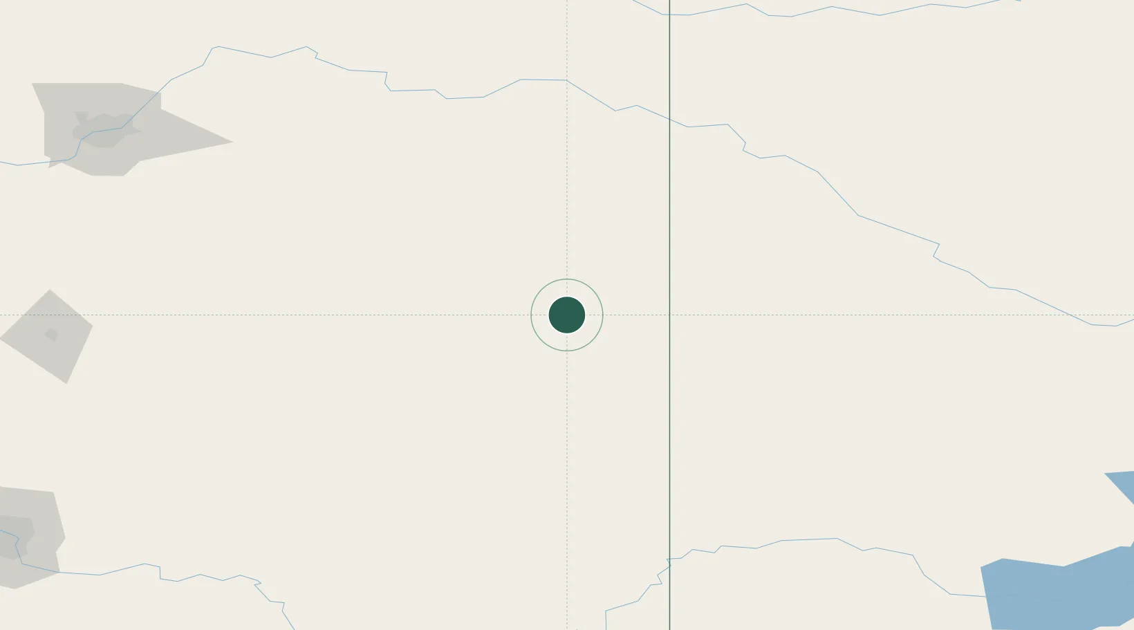
Location
Nearby Logistics Neighbours
Cities
- 1Provost26 km
- 2Macklin47 km
- 3Wainwright50 km
- 4Hardisty54 km
- 5Veteran55 km
Ports
- 1Mission City893 km
- 2Port Coquitlam921 km
- 3Port Moody926 km
- 4Fraser Mills927 km
- 5Bellingham930 km
Airports
- 1Lloydminster Airport108 km
- 2Kindersley Airport140 km
- 3North Battleford Airport167 km
- 4Bonnyville Airport212 km
- 5Edmonton International Airport222 km
Trade Zones
- 1Port Alberta - Edmonton FTZ226 km
- 2Calgary Region Inland Port280 km
- 3FTZ No. 187 Toole County438 km
- 4Global Transportation Hub Authority462 km
- 5FTZ No. 088 Great Falls547 km
DatabookThe Record of Consolidated Knowledge
Canada beyond logistics?