Transport Functions
Rail
Road
Hub Profile
Place type
Populated place
Region
Alberta
Time zone
America/Edmonton
Elevation
797 m
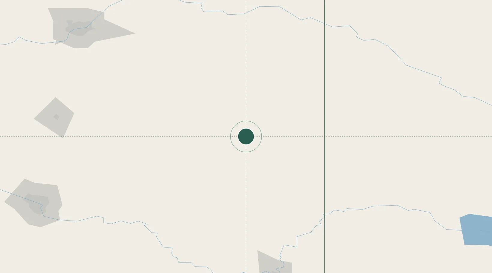
Location
Nearby Logistics Neighbours
Ports
- 1Mission City847 km
- 2Port Coquitlam876 km
- 3Port Moody882 km
- 4Fraser Mills883 km
- 5Bellingham883 km
Airports
- 1Kindersley Airport144 km
- 2Lloydminster Airport162 km
- 3Red Deer Regional Airport191 km
- 4North Battleford Airport213 km
- 5Edmonton International Airport221 km
Trade Zones
- 1Calgary Region Inland Port230 km
- 2Port Alberta - Edmonton FTZ234 km
- 3FTZ No. 187 Toole County386 km
- 4Global Transportation Hub Authority476 km
- 5FTZ No. 088 Great Falls500 km
DatabookThe Record of Consolidated Knowledge
Canada beyond logistics?