Transport Functions
Rail
Road
Multimodal
Hub Profile
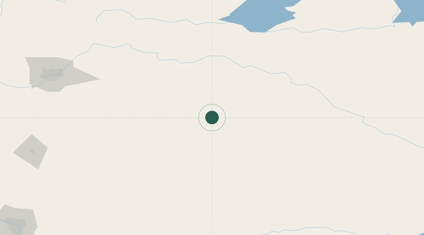
Place type
Populated place
Region
Alberta
Population
6,270
Time zone
America/Edmonton
Elevation
680 m
Location
Nearby Logistics Neighbours
Ports
- 1Mission City896 km
- 2Port Coquitlam923 km
- 3Port Moody928 km
- 4Fraser Mills929 km
- 5New Westminster934 km
Airports
- 1Lloydminster Airport74 km
- 2Bonnyville Airport164 km
- 3North Battleford Airport175 km
- 4CFB Cold Lake179 km
- 5Kindersley Airport185 km
Trade Zones
- 1Port Alberta - Edmonton FTZ187 km
- 2Calgary Region Inland Port297 km
- 3FTZ No. 187 Toole County481 km
- 4Global Transportation Hub Authority497 km
- 5FTZ No. 088 Great Falls594 km
DatabookThe Record of Consolidated Knowledge
Canada beyond logistics?