Large airport · Canada
Edmonton International AirportCYEG
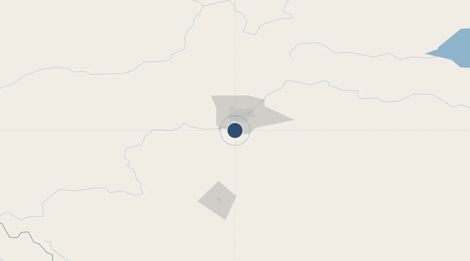
53.3097°, -113.5800°
11,000 ft
Longest runway
2
Runways
2,373 ft
Elevation
Runway & Layout

Radio Frequencies
ATIS
128 MHz
TWR
118.3 MHz
GND
121.7 MHz
CLD
124.1 MHz
CLNC DEL
APP
118.3 MHz
DEP
133.65 MHz
AAS
118.3 MHz
TWR VFR ADVSY SVC
ARR
120.5 MHz
FSS
122.5 MHz
RDO
INFO
122.95 MHz
EXEC FLT CTR
INFO
123 MHz
FLT TECH AVN INC
Navaids
YEG VORTAC Edmonton 117.60 MHz
ZAB NDB Leduc 215 kHz
ZEG NDB Nisku 379 kHz
ZET NDB Devon 292 kHz
ZZD NDB Calmar 308 kHz
Runways · 2
| Runway | Dimensions | Surface | True heading | Lit |
|---|---|---|---|---|
| 02/20 | 11,000 × 200ft | Asphalt | 034° | ✓ |
| 12/30 | 10,200 × 200ft | Asphalt | 135° | ✓ |
Airport Specifications
IATA code
YEG
ICAO code
CYEG
Airport class
Large airport
Scheduled service
Yes
Runway surface
Asphalt
Served city
Edmonton
Location
Nearby Logistics Neighbours
Airports
- 1Red Deer Regional Airport127 km
- 2Whitecourt Airport172 km
- 3Edson Airport193 km
- 4Bonnyville Airport217 km
- 5Lloydminster Airport233 km
Cities
- 1Millet25 km
- 2Acheson30 km
- 3Thorsby32 km
- 4Saint Albert36 km
- 5Lancaster Park40 km
Ports
- 1Mission City760 km
- 2Port Coquitlam783 km
- 3Port Moody786 km
- 4Fraser Mills788 km
- 5New Westminster793 km
Trade Zones
- 1Port Alberta - Edmonton FTZ40 km
- 2Calgary Region Inland Port253 km
- 3FTZ No. 187 Toole County531 km
- 4FTZ No. 242 Boundary County555 km
- 5PrInce George Logistics Park608 km
DatabookThe Record of Consolidated Knowledge
Canada beyond logistics?