Transport Functions
Rail
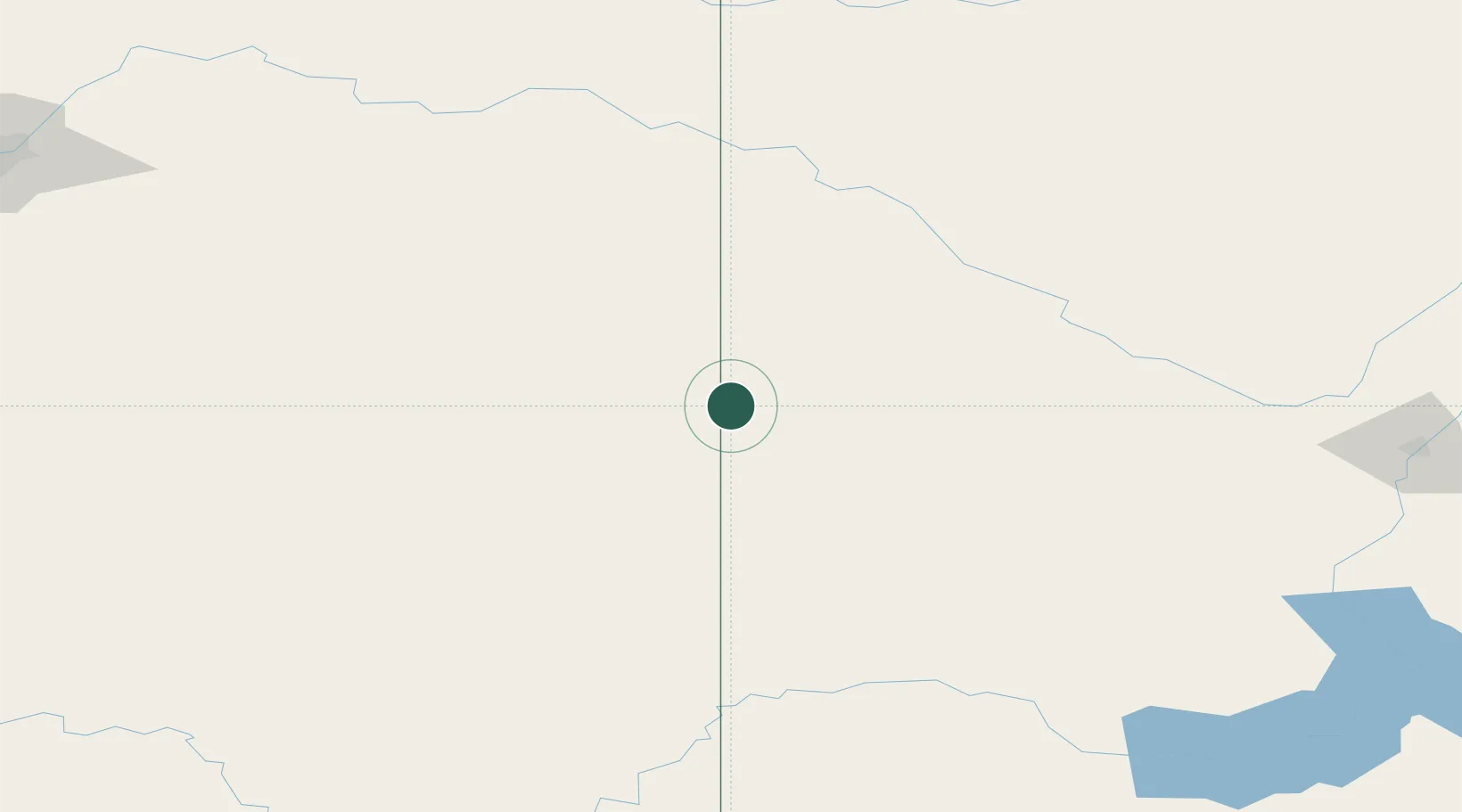
Hub Profile
Place type
Populated place
Region
Saskatchewan
Population
1,257
Time zone
America/Regina
Elevation
674 m
Location
Nearby Logistics Neighbours
Cities
- 1Provost22 km
- 2Metiskow47 km
- 3Wainwright82 km
- 4Veteran88 km
- 5Hardisty99 km
Ports
- 1Mission City934 km
- 2Port Coquitlam963 km
- 3Port Moody968 km
- 4Fraser Mills969 km
- 5Bellingham971 km
Airports
- 1Kindersley Airport105 km
- 2Lloydminster Airport109 km
- 3North Battleford Airport125 km
- 4Meadow Lake Airport221 km
- 5Saskatoon John G. Diefenbaker International Airport222 km
Trade Zones
- 1Port Alberta - Edmonton FTZ268 km
- 2Calgary Region Inland Port318 km
- 3Global Transportation Hub Authority417 km
- 4FTZ No. 187 Toole County446 km
- 5FTZ No. 088 Great Falls547 km
DatabookThe Record of Consolidated Knowledge
Canada beyond logistics?