Medium airport · Canada
North Battleford AirportCYQW
52.7694°, -108.2437°
5,000 ft
Longest runway
2
Runways
1,799 ft
Elevation
Runway & Layout

Radio Frequencies
A/G
122.1 MHz
MF
RCO
123.375 MHz
EDMONTON RDO
Navaids
QW NDB North Battleford 302 kHz
Runways · 2
| Runway | Dimensions | Surface | True heading | Lit |
|---|---|---|---|---|
| 12/30 | 5,000 × 150ft | Asphalt | 139° | ✓ |
| 06/24 | 2,565 × 50ft | Asphalt | 078° | — |
Airport Specifications
IATA code
YQW
ICAO code
CYQW
Airport class
Medium airport
Scheduled service
No
Runway surface
Asphalt
Served city
North Battleford
Location
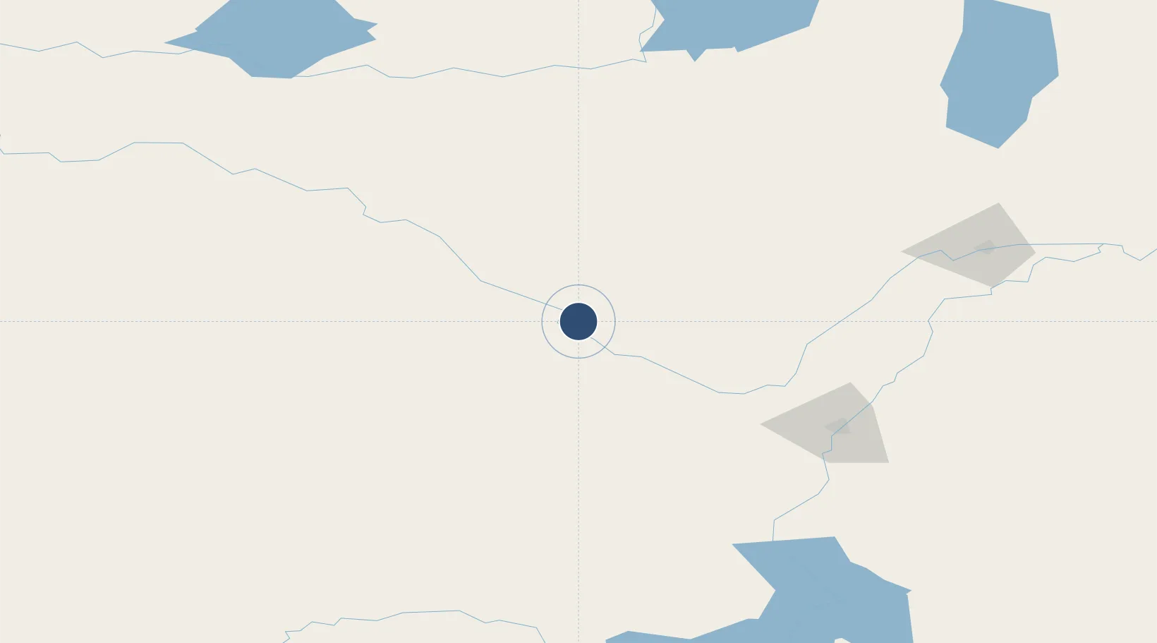
Nearby Logistics Neighbours
Airports
- 1Saskatoon John G. Diefenbaker International Airport124 km
- 2Lloydminster Airport136 km
- 3Meadow Lake Airport152 km
- 4Kindersley Airport153 km
- 5Prince Albert Glass Field179 km
Cities
- 1Battleford4 km
- 2Glenbush58 km
- 3Elrose65 km
- 4Radisson66 km
- 5Perdue93 km
Ports
- 1Mission City1059 km
- 2Port Coquitlam1087 km
- 3Port Moody1092 km
- 4Fraser Mills1094 km
- 5Bellingham1095 km
Trade Zones
- 1Port Alberta - Edmonton FTZ352 km
- 2Global Transportation Hub Authority353 km
- 3Calgary Region Inland Port443 km
- 4FTZ No. 187 Toole County543 km
- 5FTZ No. 088 Great Falls628 km
DatabookThe Record of Consolidated Knowledge
Canada beyond logistics?