Medium airport · Canada
Bonnyville AirportCYBF
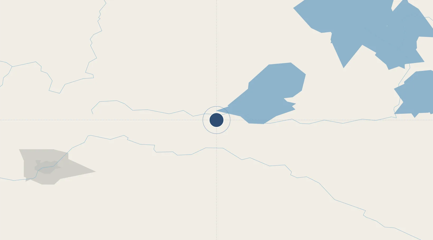
54.3042°, -110.7440°
4,434 ft
Longest runway
1
Runways
1,836 ft
Elevation
Runway & Layout

Radio Frequencies
ATF
123.2 MHz
Navaids
V4 NDB Bonnyville 296 kHz
Y3 DME Bonnyville 109.80 MHz
Runways · 1
| Runway | Dimensions | Surface | True heading | Lit |
|---|---|---|---|---|
| 08/26 | 4,434 × 75ft | Asphalt | 090° | ✓ |
Airport Specifications
IATA code
YBY
ICAO code
CYBF
Airport class
Medium airport
Scheduled service
Yes
Runway surface
Asphalt
Served city
Bonnyville
Location
Nearby Logistics Neighbours
Airports
- 1CFB Cold Lake32 km
- 2Lloydminster Airport119 km
- 3Meadow Lake Airport146 km
- 4Edmonton International Airport217 km
- 5North Battleford Airport238 km
Cities
- 1Glendon27 km
- 2Two Hills93 km
- 3Lac La Biche93 km
- 4Smoky Lake114 km
- 5Innisfree115 km
Ports
- 1Mission City977 km
- 2Port Coquitlam999 km
- 3Port Moody1002 km
- 4Fraser Mills1005 km
- 5New Westminster1010 km
Trade Zones
- 1Port Alberta - Edmonton FTZ185 km
- 2Calgary Region Inland Port426 km
- 3Global Transportation Hub Authority591 km
- 4FTZ No. 187 Toole County642 km
- 5FTZ No. 242 Boundary County747 km
DatabookThe Record of Consolidated Knowledge
Canada beyond logistics?