Transport Functions
Rail
Road
Hub Profile
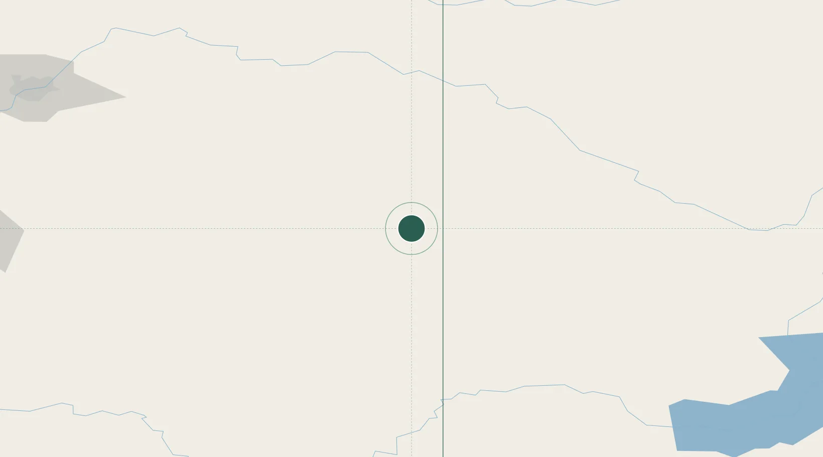
Place type
Populated place
Region
Alberta
Population
2,082
Time zone
America/Edmonton
Elevation
666 m
Location
Nearby Logistics Neighbours
Cities
- 1Macklin22 km
- 2Metiskow26 km
- 3Wainwright67 km
- 4Veteran70 km
- 5Hardisty78 km
Ports
- 1Mission City914 km
- 2Port Coquitlam943 km
- 3Port Moody948 km
- 4Fraser Mills949 km
- 5Bellingham951 km
Airports
- 1Lloydminster Airport107 km
- 2Kindersley Airport119 km
- 3North Battleford Airport145 km
- 4Bonnyville Airport220 km
- 5CFB Cold Lake229 km
Trade Zones
- 1Port Alberta - Edmonton FTZ249 km
- 2Calgary Region Inland Port299 km
- 3Global Transportation Hub Authority437 km
- 4FTZ No. 187 Toole County440 km
- 5FTZ No. 088 Great Falls545 km
DatabookThe Record of Consolidated Knowledge
Canada beyond logistics?