Transport Functions
Rail
Road
Hub Profile
Place type
Populated place
Region
Alberta
Time zone
America/Edmonton
Elevation
614 m
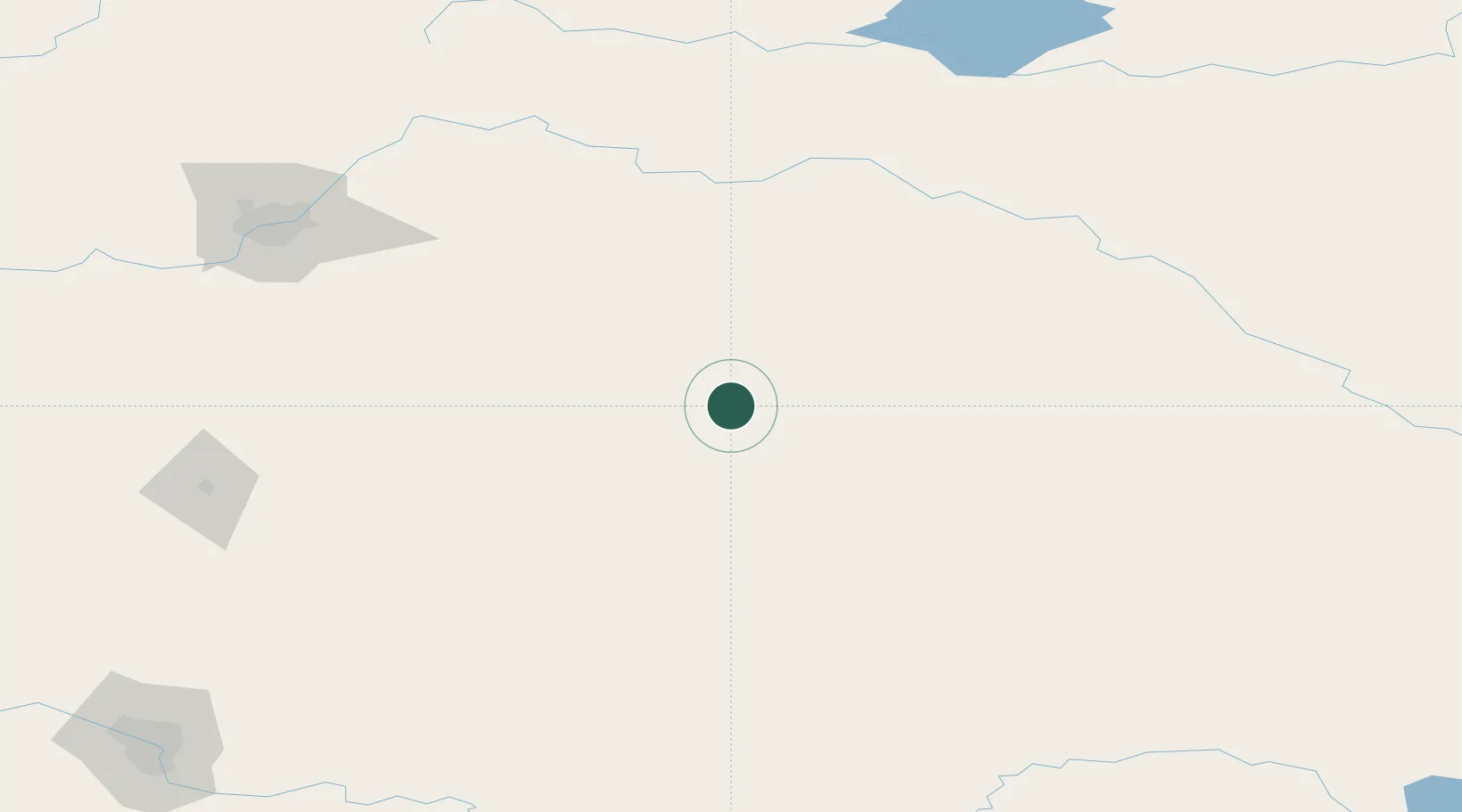
Location
Nearby Logistics Neighbours
Cities
- 1Sedgewick28 km
- 2Wainwright36 km
- 3Forestburg53 km
- 4Metiskow54 km
- 5Viking57 km
Ports
- 1Mission City861 km
- 2Port Coquitlam888 km
- 3Port Moody893 km
- 4Fraser Mills894 km
- 5New Westminster899 km
Airports
- 1Lloydminster Airport109 km
- 2Edmonton International Airport169 km
- 3Red Deer Regional Airport184 km
- 4Bonnyville Airport186 km
- 5Kindersley Airport193 km
Trade Zones
- 1Port Alberta - Edmonton FTZ172 km
- 2Calgary Region Inland Port262 km
- 3FTZ No. 187 Toole County457 km
- 4Global Transportation Hub Authority516 km
- 5FTZ No. 088 Great Falls574 km
DatabookThe Record of Consolidated Knowledge
Canada beyond logistics?