UN/LOCODE hub · Canada
CASAA
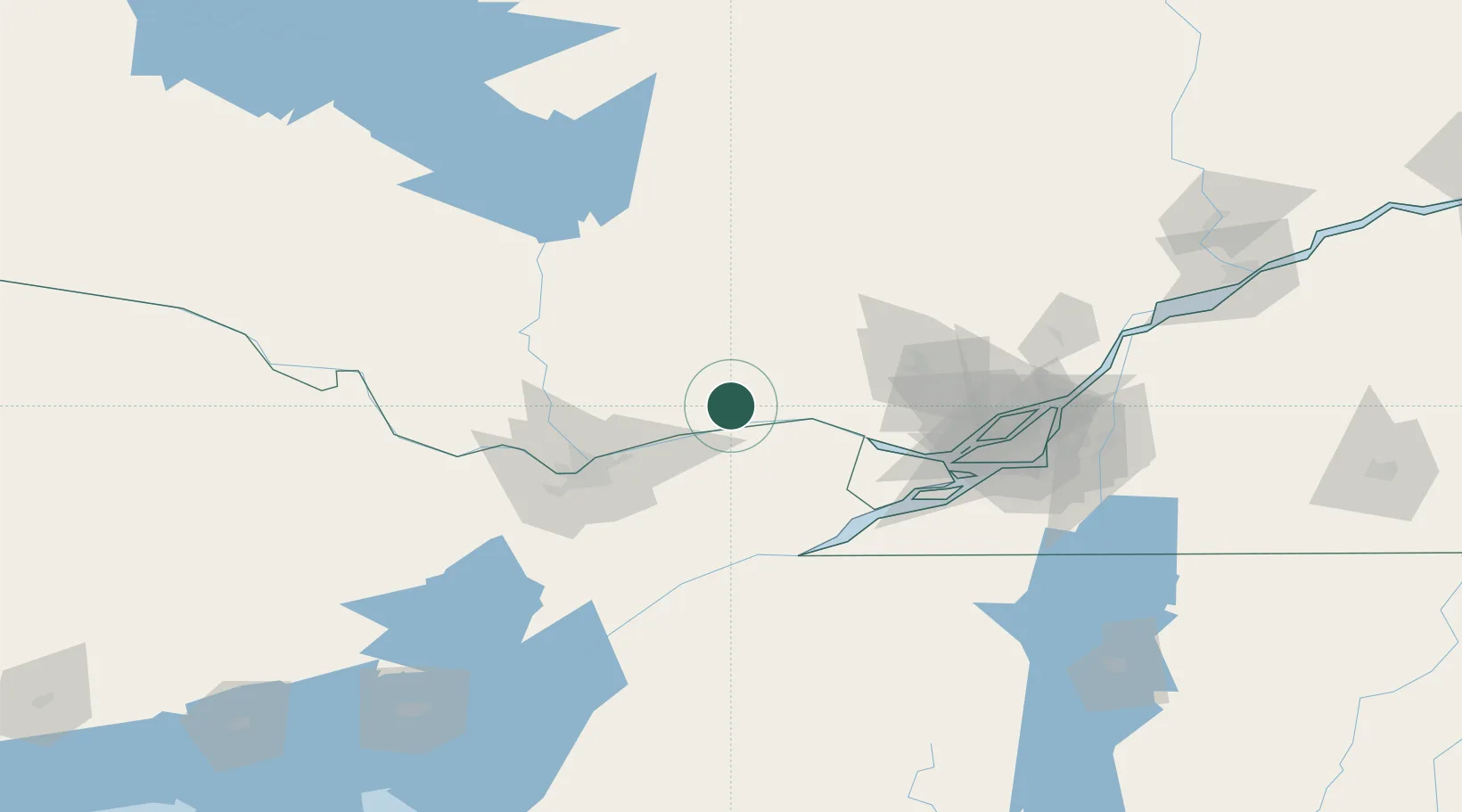
Saint-André-Avellin
45.7167°, -75.0333°
3,562
Population
2
Transport functions
Transport Functions
Road
Multimodal
Hub Profile
Place type
Populated place
Region
Quebec
Population
3,562
Time zone
America/Toronto
Elevation
177 m
Location
Nearby Logistics Neighbours
Cities
- 1Montebello11 km
- 2Plantagenet21 km
- 3Alfred23 km
- 4Masson36 km
- 5Sarsfield39 km
Ports
- 1Montebello11 km
- 2Papineauville11 km
- 3Fassett15 km
- 4Thurso20 km
- 5Rockland28 km
Airports
Trade Zones
- 1Greater Montreal Free Zone Center117 km
- 2FTZ No. 118 Ogdensburg118 km
- 3FTZ No. 109 Watertown204 km
- 4FTZ No. 090 Onondaga279 km
- 5FTZ No. 172 Oneida County287 km
DatabookThe Record of Consolidated Knowledge
Canada beyond logistics?