Transport Functions
Port
Rail
Road
Hub Profile
Place type
Populated place
Region
British Columbia
Population
2,388
Time zone
America/Vancouver
Elevation
411 m
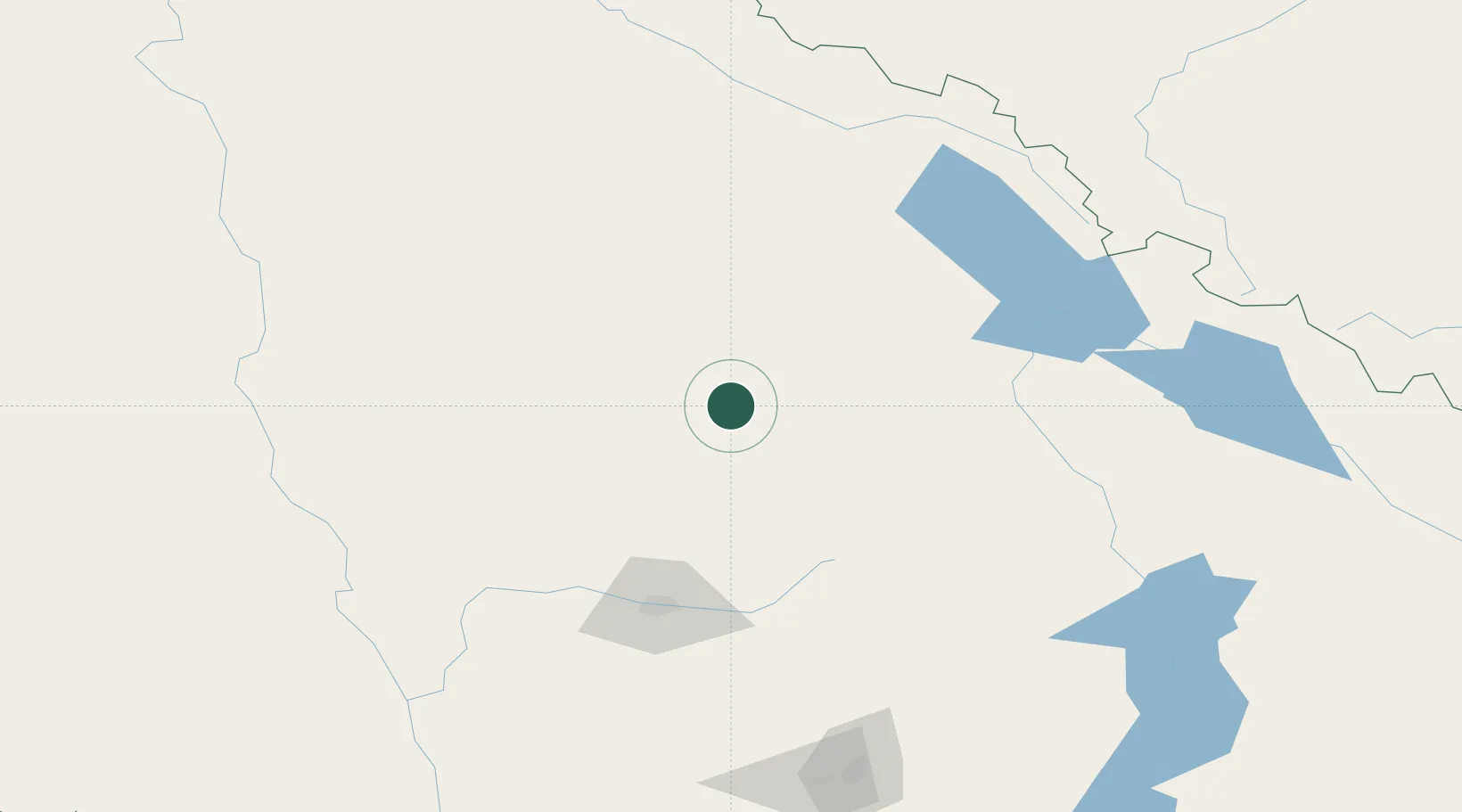
Location
Nearby Logistics Neighbours
Cities
- 1Lone Butte81 km
- 2Sun Peaks86 km
- 3100 Mile House (One Hundred Mile House)86 km
- 4Fraser Wharves96 km
- 5Sicamous117 km
Ports
- 1Mission City320 km
- 2Port Coquitlam331 km
- 3Port Moody332 km
- 4Fraser Mills336 km
- 5Port Mellon340 km
Airports
Trade Zones
- 1PrInce George Logistics Park311 km
- 2FTZ Vancouver Island345 km
- 3FTZ No. 128 Whatcom County363 km
- 4FTZ No. 129 Bellingham368 km
- 5FTZ No. 242 Boundary County395 km
DatabookThe Record of Consolidated Knowledge
Canada beyond logistics?