Transport Functions
Rail
Road
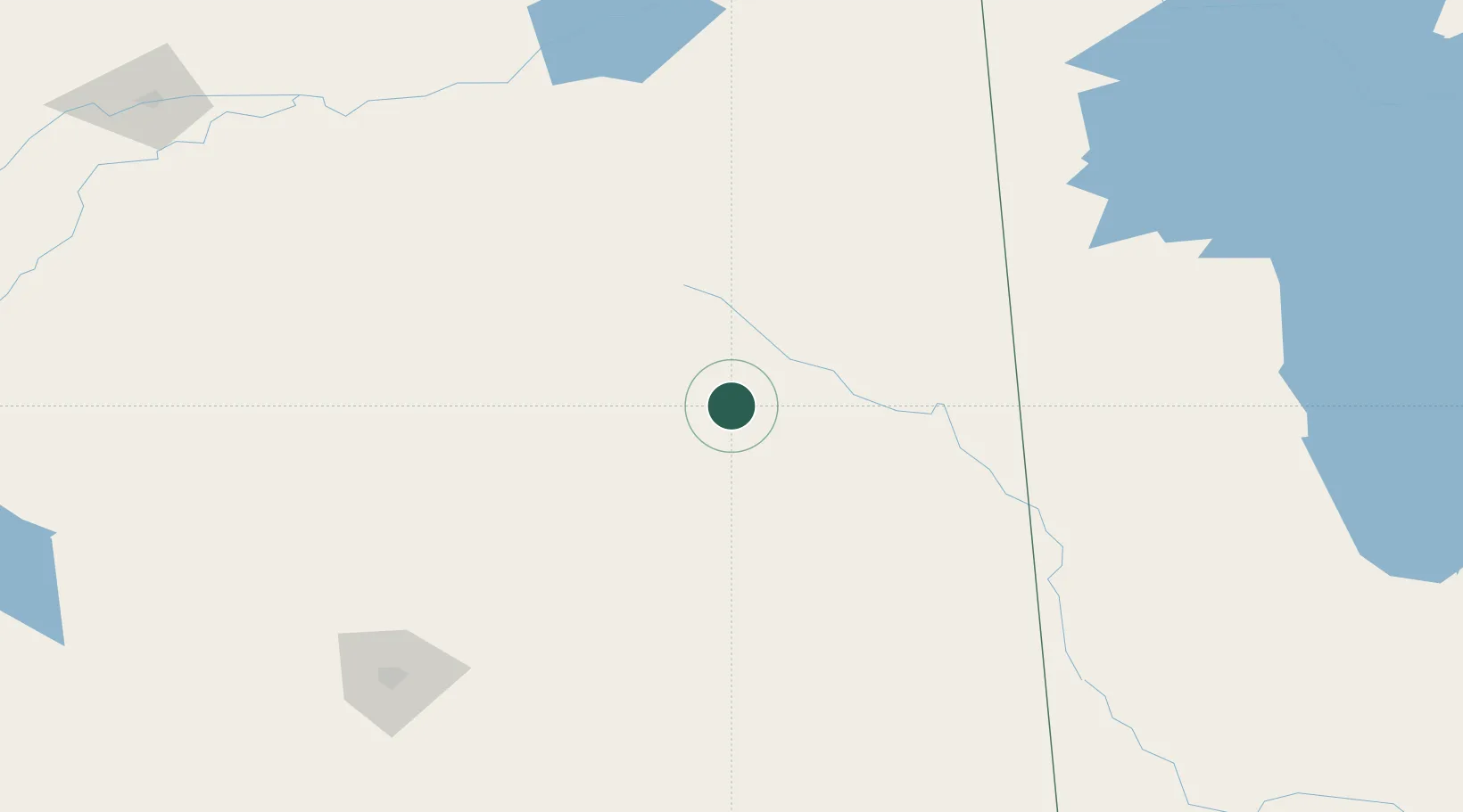
Hub Profile
Place type
Populated place
Region
Saskatchewan
Population
80
Time zone
America/Regina
Elevation
553 m
Location
Nearby Logistics Neighbours
Cities
- 1Canora41 km
- 2Springside50 km
- 3Ituna74 km
- 4Kamsack79 km
- 5Leross79 km
Ports
- 1Churchill959 km
- 2Duluth964 km
- 3Superior969 km
- 4Two Harbors974 km
- 5Grand Marais1011 km
Airports
- 1Yorkton Municipal Airport66 km
- 2Swan River Airport128 km
- 3Regina International Airport187 km
- 4Nipawin Airport189 km
- 5Dauphin Barker Airport217 km
Trade Zones
- 1Global Transportation Hub Authority190 km
- 2Winnipegs Centreport Canada460 km
- 3FTZ No. 103 Grand Forks597 km
- 4FTZ No. 267 Fargo698 km
- 5Port Alberta - Edmonton FTZ726 km
DatabookThe Record of Consolidated Knowledge
Canada beyond logistics?