Transport Functions
Port
Rail
Road
Hub Profile
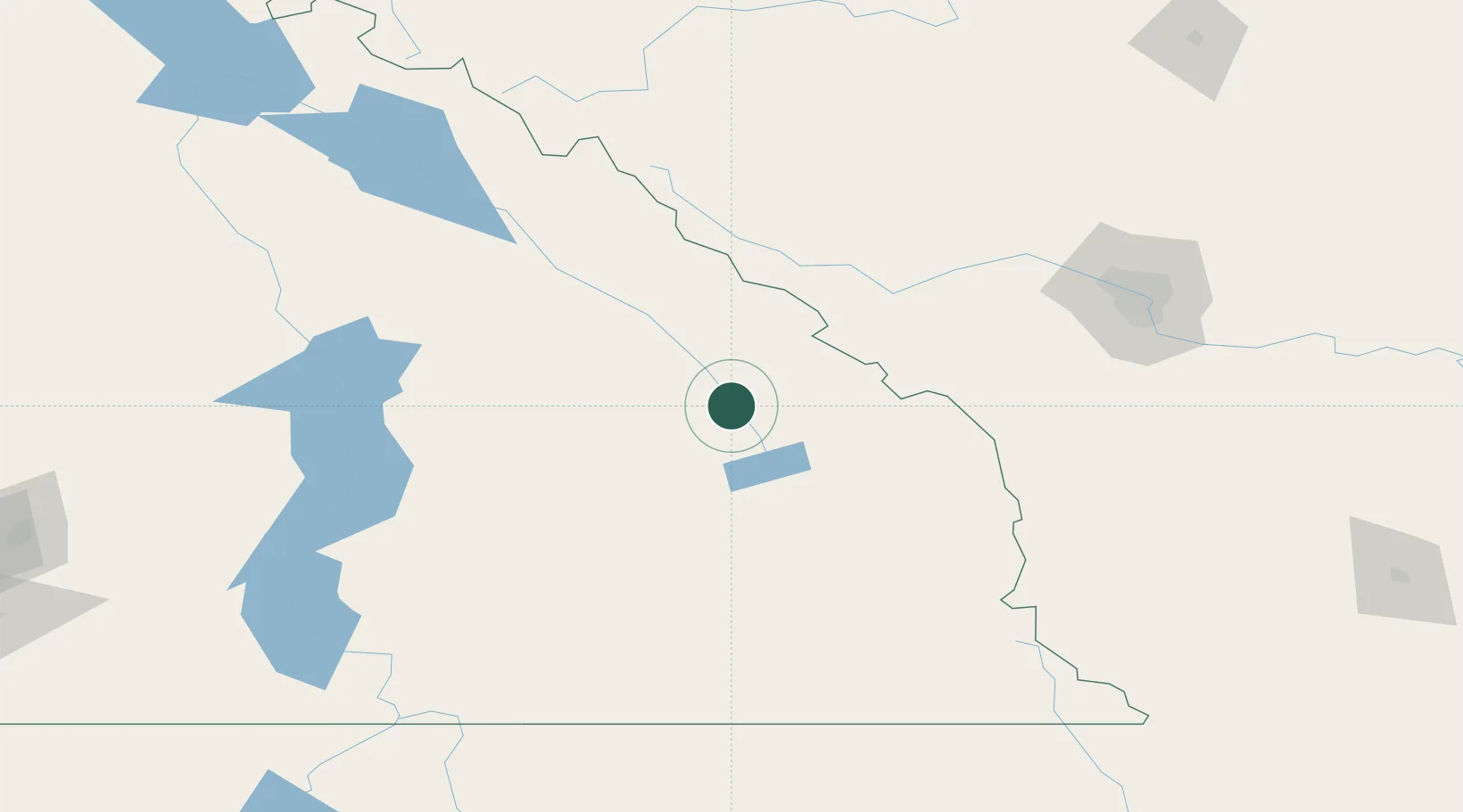
Place type
Populated place
Region
British Columbia
Population
3,391
Time zone
America/Edmonton
Elevation
803 m
Location
Nearby Logistics Neighbours
Cities
- 1Radium Hot Springs11 km
- 2Harrogate59 km
- 3Exshaw87 km
- 4Kananaskis89 km
- 5Kaslo93 km
Ports
- 1Mission City472 km
- 2Port Coquitlam503 km
- 3Bellingham505 km
- 4Port Moody509 km
- 5Fraser Mills509 km
Airports
- 1Cranbrook/Canadian Rockies International Airport102 km
- 2Golden Airport110 km
- 3Calgary / Springbank Airport134 km
- 4Calgary International Airport157 km
- 5Revelstoke Airport159 km
Trade Zones
- 1Calgary Region Inland Port150 km
- 2FTZ No. 242 Boundary County204 km
- 3FTZ No. 224 Spokane333 km
- 4FTZ No. 187 Toole County343 km
- 5Port Alberta - Edmonton FTZ393 km
DatabookThe Record of Consolidated Knowledge
Canada beyond logistics?