Transport Functions
Rail
Road
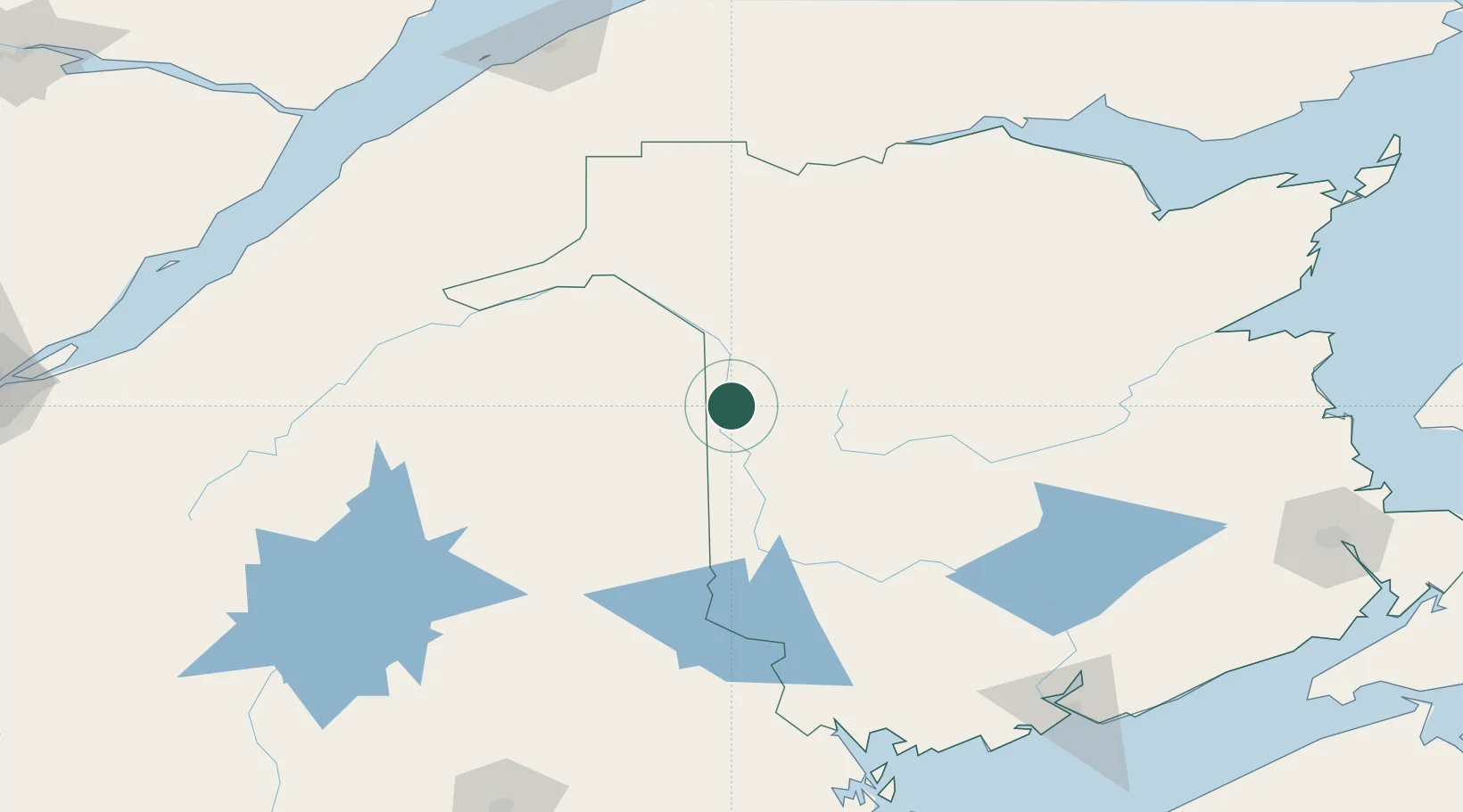
Hub Profile
Place type
Populated place
Region
New Brunswick
Population
1,574
Time zone
America/Moncton
Elevation
77 m
Location
Nearby Logistics Neighbours
Cities
- 1Limestone21 km
- 2Grand Falls35 km
- 3Grand-Sault35 km
- 4Hartland52 km
- 5Jacksonville64 km
Ports
- 1Dalhousie178 km
- 2Port Bayside Nb181 km
- 3Riviere Du Loup185 km
- 4Rimouski201 km
- 5St John206 km
Airports
Trade Zones
- 1FTZ No. 179 Madawaska79 km
- 2Saint John205 km
- 3FTZ No. 058 Bangor231 km
- 4Québec City FTZ272 km
- 5FTZ No. 186 Waterville290 km
DatabookThe Record of Consolidated Knowledge
Canada beyond logistics?