Transport Functions
Port
Hub Profile
Region
NU
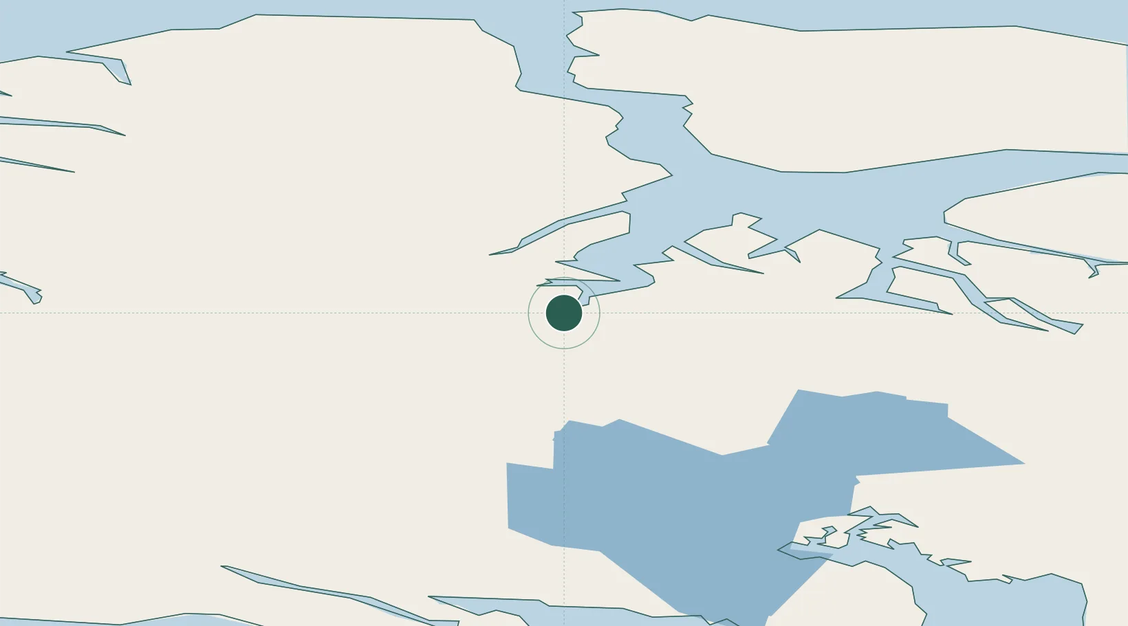
Location
Nearby Logistics Neighbours
Cities
- 1Arctic Bay191 km
- 2Igloolik282 km
- 3Grise Fiord508 km
- 4Gjoa Haven665 km
- 5Coral Harbour867 km
Ports
- 1Pond Inlet171 km
- 2Pituffik (Thule Air Base)630 km
- 3Pangnirtung875 km
- 4Deception Bay1114 km
- 5Churchill1573 km
Airports
- 1Pond Inlet Airport134 km
- 2Arctic Bay Airport186 km
- 3Igloolik Airport282 km
- 4Hall Beach Airport346 km
- 5Kugaaruk Airport500 km
Trade Zones
- 1Winnipegs Centreport Canada2577 km
- 2Global Transportation Hub Authority2663 km
- 3FTZ No. 259 Koochiching County2713 km
- 4FTZ No. 103 Grand Forks2793 km
- 5FTZ No. 179 Madawaska2812 km
DatabookThe Record of Consolidated Knowledge
Canada beyond logistics?