Transport Functions
Port
Road
Airport
Hub Profile
Place type
Locality
Region
Nunavut
Population
841
Time zone
America/Rankin_Inlet
Elevation
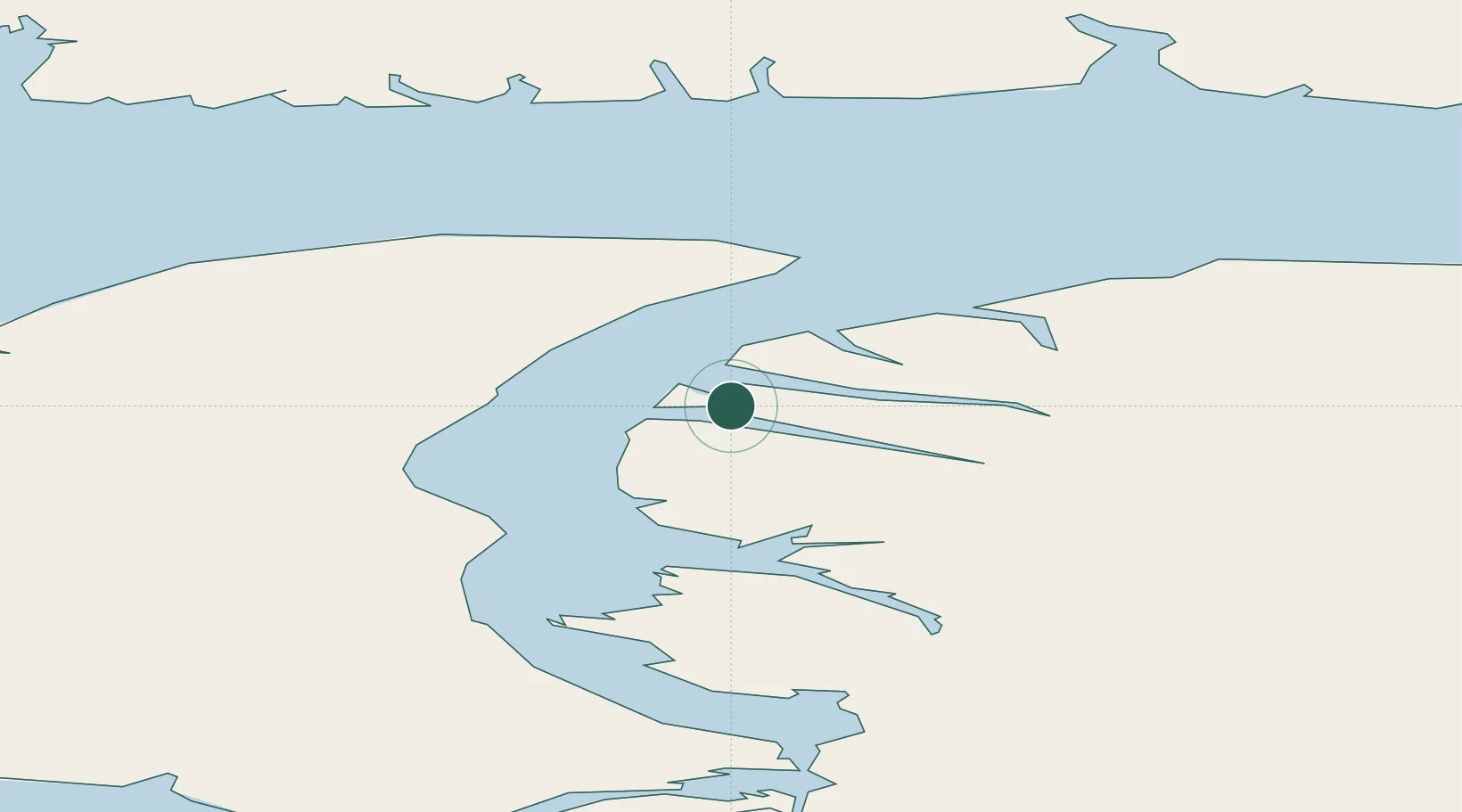
3 m
Location
Nearby Logistics Neighbours
Cities
- 1Milne Inlet Port191 km
- 2Grise Fiord382 km
- 3Igloolik425 km
- 4Gjoa Haven625 km
- 5Coral Harbour993 km
Ports
- 1Pond Inlet277 km
- 2Pituffik (Thule Air Base)611 km
- 3Pangnirtung1066 km
- 4Deception Bay1285 km
- 5Churchill1632 km
Airports
- 1Arctic Bay Airport5 km
- 2Pond Inlet Airport239 km
- 3Resolute Bay Airport355 km
- 4Grise Fiord Airport383 km
- 5Igloolik Airport425 km
Trade Zones
- 1Port Alberta - Edmonton FTZ2521 km
- 2Winnipegs Centreport Canada2638 km
- 3Global Transportation Hub Authority2684 km
- 4FTZ No. 259 Koochiching County2790 km
- 5FTZ No. 103 Grand Forks2857 km
DatabookThe Record of Consolidated Knowledge
Canada beyond logistics?