Small airport · Canada
Pond Inlet AirportCYIO
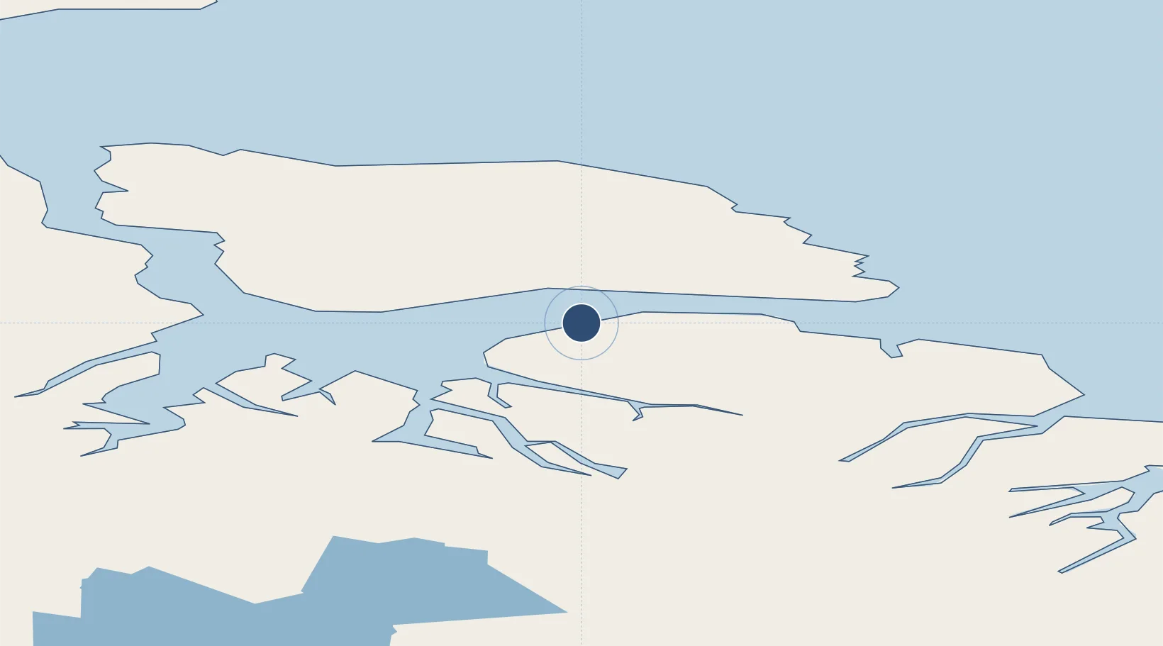
72.6895°, -77.9689°
4,000 ft
Longest runway
1
Runways
181 ft
Elevation
Runway & Layout

Radio Frequencies
AWOS
128.3 MHz
RDO
122.1 MHz
Navaids
YIO NDB Pond Inlet 214 kHz
Runways · 1
| Runway | Dimensions | Surface | True heading | Lit |
|---|---|---|---|---|
| 02T/20T | 4,000 × 100ft | Gravel | 023° | ✓ |
Airport Specifications
IATA code
YIO
ICAO code
CYIO
Airport class
Small airport
Scheduled service
Yes
Runway surface
Gravel
Served city
Pond Inlet
Location
Nearby Logistics Neighbours
Airports
- 1Arctic Bay Airport235 km
- 2Igloolik Airport395 km
- 3Clyde River Airport412 km
- 4Grise Fiord Airport440 km
- 5Hall Beach Airport451 km
Cities
- 1Milne Inlet Port134 km
- 2Arctic Bay239 km
- 3Igloolik395 km
- 4Grise Fiord440 km
- 5Suursaq945 km
Ports
- 1Pond Inlet41 km
- 2Pituffik (Thule Air Base)504 km
- 3Kajalleq Upernavik751 km
- 4Pangnirtung868 km
- 5Deception Bay1180 km
Trade Zones
- 1Winnipegs Centreport Canada2704 km
- 2Global Transportation Hub Authority2796 km
- 3FTZ No. 259 Koochiching County2835 km
- 4FTZ No. 179 Madawaska2867 km
- 5Crossroads Business Park2884 km
DatabookThe Record of Consolidated Knowledge
Canada beyond logistics?