Transport Functions
Rail
Road
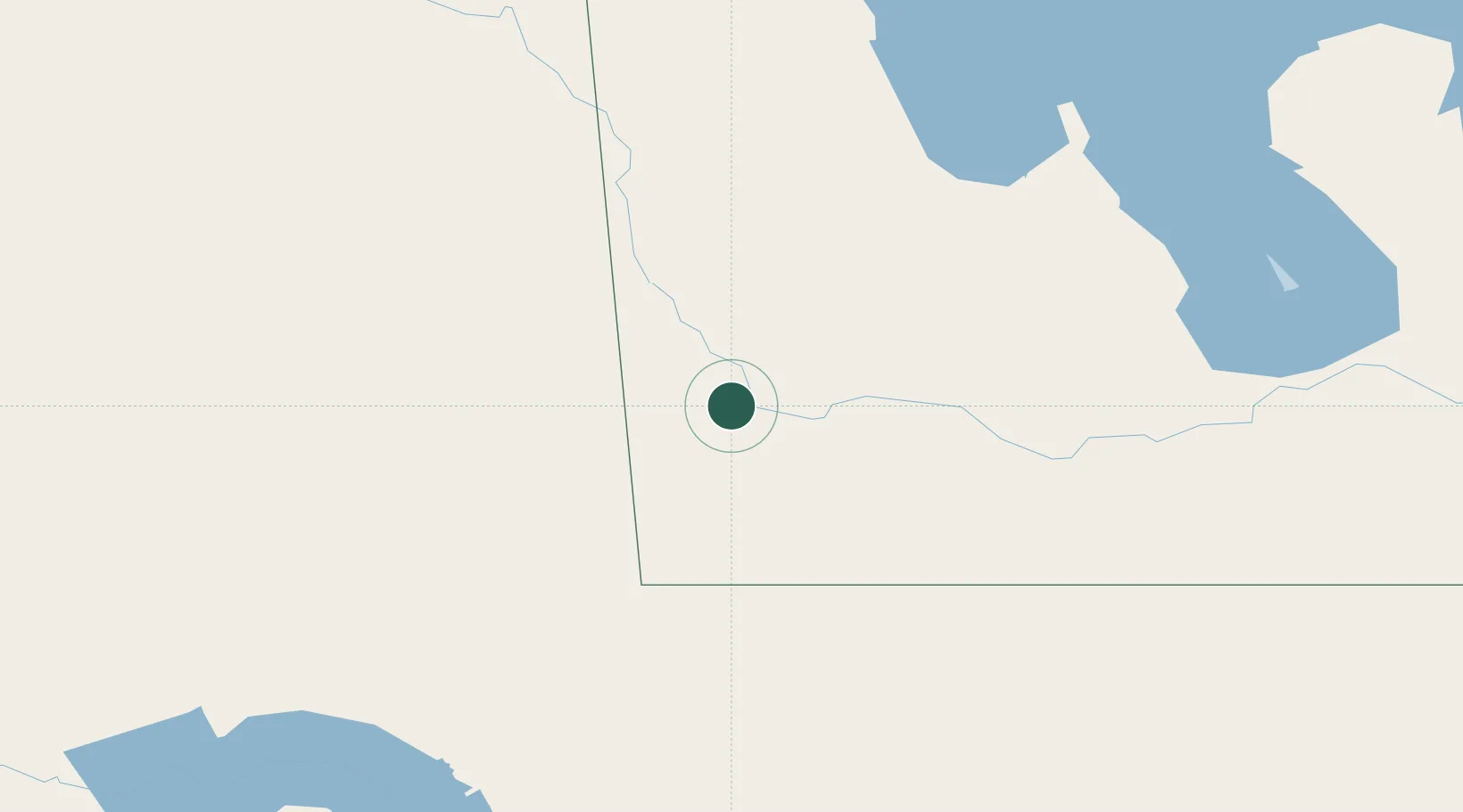
Hub Profile
Place type
Populated place
Region
Manitoba
Population
3,114
Time zone
America/Winnipeg
Elevation
442 m
Location
Nearby Logistics Neighbours
Ports
- 1Duluth737 km
- 2Superior741 km
- 3Two Harbors753 km
- 4Grand Marais810 km
- 5Bayfield820 km
Airports
Trade Zones
- 1Winnipegs Centreport Canada272 km
- 2Global Transportation Hub Authority280 km
- 3FTZ No. 103 Grand Forks349 km
- 4FTZ No. 267 Fargo444 km
- 5FTZ No. 259 Koochiching County513 km
DatabookThe Record of Consolidated Knowledge
Canada beyond logistics?